


1. Etappe: Forstau - Vögeialm - Oberhütte (1000hm, 17km)
2. Etappe: Oberhütte - Weißpriach - Mitterberg - St.Michael - Aineck - Katschberghöhe (2000hm, 55km)
3. Etappe: Katschberghöhe - St. Peter - Torscharte - Eisentratten - Innernöring (1500hm, 40km)
4. Etappe: Innernöring - Millstätter Törl - Millstätter See - Spittal (1000hm, 30km)
Inspiration für diese Tour holte ich mir bei den GPS-Tour.info Touren 36, 676 und 5950. (Vielen Dank an die Autoren!)
Nachdem ich bisher 3x eine Route von Oberstdorf nach Riva gefahren bin war dieses Mal die östliche Seite der Alpen dran.
Leider hatte ich keine ganze Woche Zeit und musste auf knappe 4 Tage reduzieren.
Die Tour hat mir sehr gut gefallen. Außer 2 Schiebestücken (zwischen Oberhütte und Weisspriach und kurz vor der Torscharte) war alles komplett fahrbar. Werde auf jeden Fall wieder in diese Ecke der Alpen kommen und weitere Touren machen.
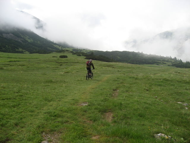
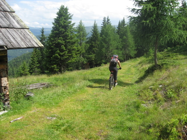
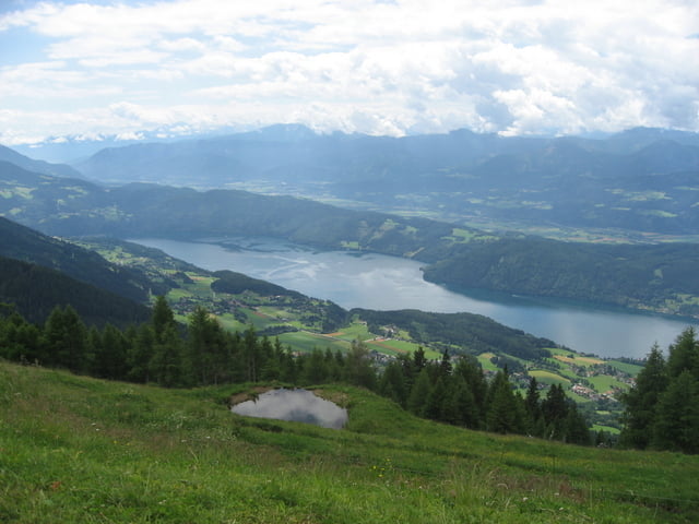
Tour gallery
Tour map and elevation profile
Minimum height 577 m
Maximum height 2215 m
More about the tour author

|
Zahir |
Comments

von Salzburg kommend auf der A10 Richtung Spittal.
Ausfahrt Radstadt. Von dort Beschilderung Richtung Forstau folgen.
GPS tracks
Trackpoints-
GPX / Garmin Map Source (gpx) download
-
TCX / Garmin Training Center® (tcx) download
-
CRS / Garmin Training Center® (crs) download
-
Google Earth (kml) download
-
G7ToWin (g7t) download
-
TTQV (trk) download
-
Overlay (ovl) download
-
Fugawi (txt) download
-
Kompass (DAV) Track (tk) download
-
Track data sheet (pdf) download
-
Original file of the author (gpx) download
More about the tour author
|
|
Zahir |
Add to my favorites
Remove from my favorites
Edit tags
Open track
My score
Rate