


Bis zur Burg Montclair ist der Weg sehr gut in dem unten aufgeführten Link beschrieben. Ab dort folgen wir weiter der Markierung "Kochmütze" zurück nach Mettlach anstatt über St. Gandolf nach Besseringen.
Der Saarländer geht ja bekanntlich sehr großzügig mit dem Begriff Premiumwanderweg um. Für diese Wanderung ist die Bezeichnung jedoch voll zutreffend. Die Höhepunkte der Wanderung sind:
- Blick auf die Saar und Saarschleife beim Anstieg zur Cloef bzw. am Aussichtspunkt Cloef selbst
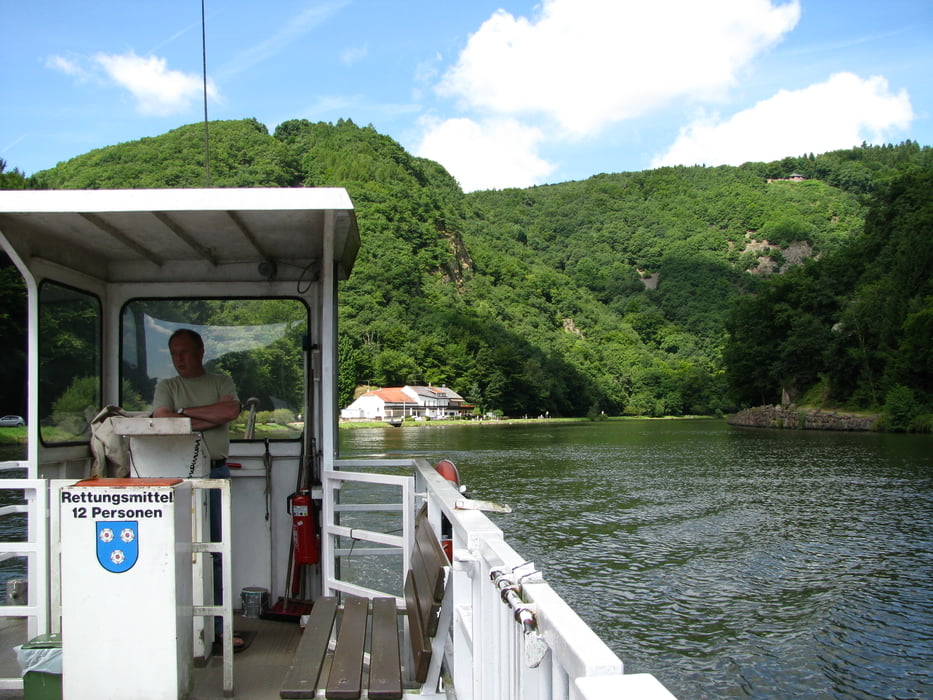
- der Weg an der Saarschleife entlang mit der Fährüberfahrt
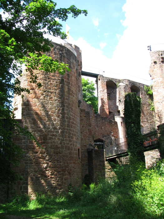
- die Burg Montclair, die man auf jeden Fall besichtigen sollte
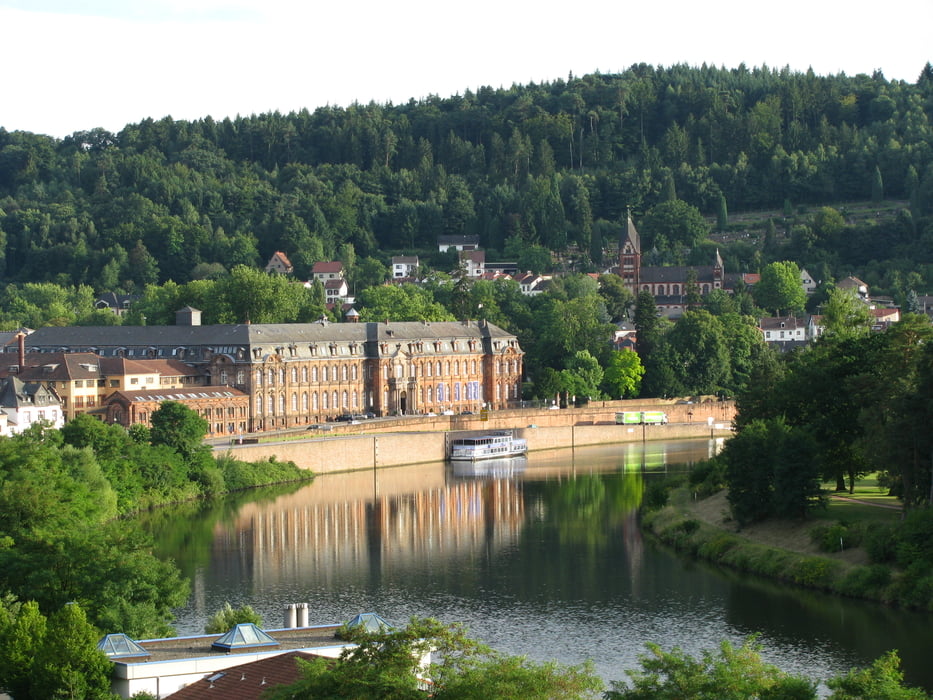
- Mettlach, ein wunderschöner Ort zum Schlemmen und Shoppen
Further information at
http://www.wanderbares-saarland.de/db/touren/mettlach_cloef/mettlach_cloef.htmlTour gallery

Tour map and elevation profile
Minimum height 145 m
Maximum height 371 m
More about the tour author

|
Comments

Start und Ziel am Bahnhof Mettlach
GPS tracks
Trackpoints-
GPX / Garmin Map Source (gpx) download
-
TCX / Garmin Training Center® (tcx) download
-
CRS / Garmin Training Center® (crs) download
-
Google Earth (kml) download
-
G7ToWin (g7t) download
-
TTQV (trk) download
-
Overlay (ovl) download
-
Fugawi (txt) download
-
Kompass (DAV) Track (tk) download
-
Track data sheet (pdf) download
-
Original file of the author (gpx) download
More about the tour author
|
|
Add to my favorites
Remove from my favorites
Edit tags
Open track
My score
Rate