Login

Forgot your login?

Cookies have to be accepted!
Your browser's cookie functionality is disabled. Please enable this functionality.

Not a member yet?

Register now
Login

Available for registred users only

Log in to use this feature.

Forgot your login?

Cookies have to be accepted!
Your browser's cookie functionality is disabled. Please enable this functionality.

Not a member yet?

Register now
Filter
Categories
Advanced filters
  • Distance (km)
  • Height
Save filters Reset filter

TrackRank

QRCode

Technical data

Distance16,9 km Height888 m Way down m Duration06:00 h:m Date10.08.2008
Scores Author Landscape Fun factor Fitness Technique

Statistics

1954 Views Scores 143 Downloads Average
Rate
  • Track data sheet
  • Directions
  • Downloads

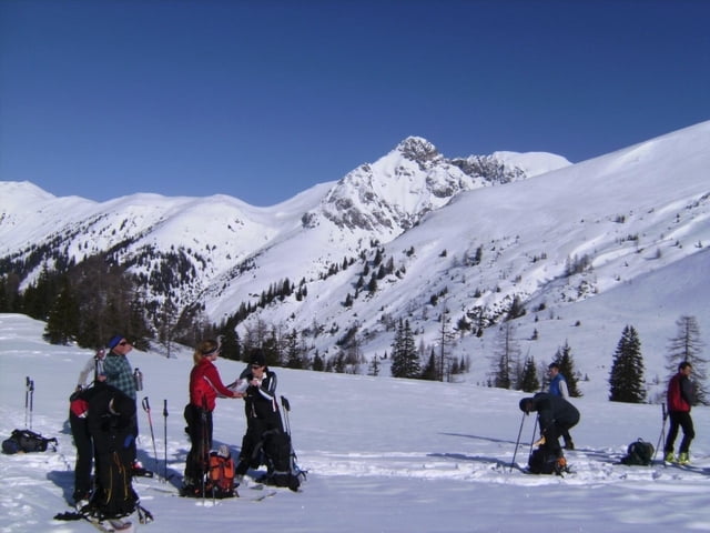
Mit dem Auto konnten wir von Karteis bis zum Parkplatz beim letzten Bauern rauffahren. Ist dies wegen der Schneelage nicht möglich, verlängert sich die Tour um ca. 300 Höhenmeter.

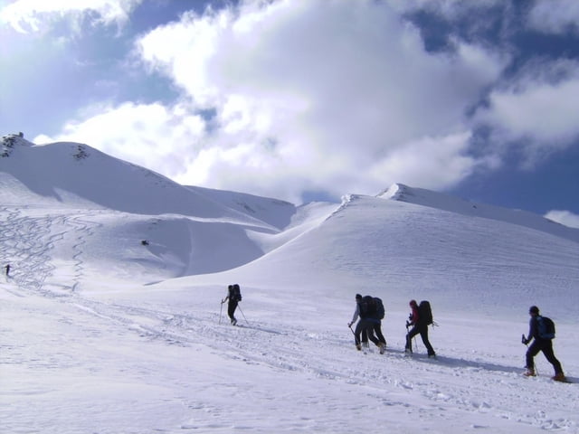
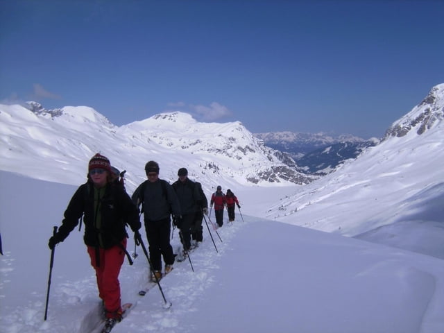
Der erste westseitige Anstieg erfolgte zum Kreuzeck. Dann folgte eine fast 400 Höhenmeter-Abfahrt ostseitig in den Talkessel des Tappenkarsees. Nun südwärts auf die Glingspitze. Der Rückweg folgt im Prinzip dem Aufstieg mit einigen Varianten. Der Gegenanstieg zum Kreuzeck kann zäh werden. Im Wald nach der Karteisalm hielten wir uns links eines Grabens und erreichten eine Forststraße, die uns zum Parkplatz zurückführte. Wegen umgestürzter Bäume war dieser Teil der Abfahrt recht anspruchsvoll.

Achtung: die automatische Höhenberechnung ist wie so oft völlig falsch! Es sind ca. 2000 Hm zu überwinden (siehe Ausgangs- und Gipfelhöhe zuzüglich 2 x 400 Hm Gegenanstieg).
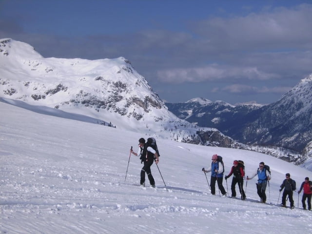
Tour gallery

Tour map and elevation profile

  • Open Street Map
  • Google
Minimum height 1303 m Maximum height 2444 m Detailed view

More about the tour author

herzi
Member since 2008

Send private message

Comments

Im Großarltal Richtung Talende (Hüttschlag) und in Karteis durch das Dorf, immer teils recht steil zum PP

GPS tracks

Trackpoints
  • GPX / Garmin Map Source (gpx) download
  • TCX / Garmin Training Center® (tcx) download
  • CRS / Garmin Training Center® (crs) download
  • Google Earth (kml) download
  • G7ToWin (g7t) download
  • TTQV (trk) download
  • Overlay (ovl) download
  • Fugawi (txt) download
  • Kompass (DAV) Track (tk) download
  • Track data sheet (pdf) download
  • Original file of the author (gpx) download

More about the tour author

herzi
Member since 2008

Send private message
Share track
Add to my favorites
Remove from my favorites
Edit tags
My score
Rate
Track: Vom Großarltal auf die Glingspitze
Type: Ski touring
Distance: 16,9 km
Evaluated on:
Duration:
Day(s)
Hour(s)
Minute(s)
Score: Landscape Fun factor Fitness Technique