


The walk is from Vesio, at the end of the Valle di Bondo to Limone sul Garda. The walk uses marked paths 216, 213, and 123.
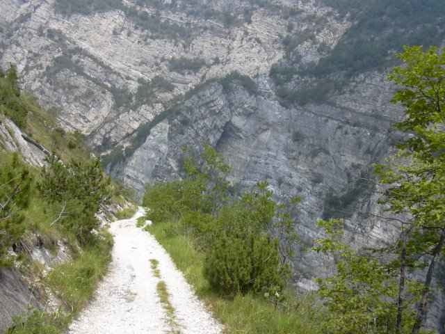
It rises up to Dalvra Bassa at 919 mtrs, then down and around the base of Monte Bestone and then down again through the steep, deserted and very rocky Val Pura, and then on into Limone.
I took around 5 hours to complete the walk as the scenery was so beautiful that I just had to keep stopping to take it all in.
I have finished the walk back at the Bar Turista, in Limone.
Tour gallery
Tour map and elevation profile
Minimum height 97 m
Maximum height 938 m
More about the tour author

|
SILVAED |
Comments

The trailhead starts from the small Piazza in the centre of Vesio. This can be easily reached by taking a local bus, which leaves at 09.00 am, from outside the Tourist Information office in Limone.
GPS tracks
Trackpoints-
GPX / Garmin Map Source (gpx) download
-
TCX / Garmin Training Center® (tcx) download
-
CRS / Garmin Training Center® (crs) download
-
Google Earth (kml) download
-
G7ToWin (g7t) download
-
TTQV (trk) download
-
Overlay (ovl) download
-
Fugawi (txt) download
-
Kompass (DAV) Track (tk) download
-
Track data sheet (pdf) download
-
Original file of the author (g7t) download
More about the tour author
|
|
SILVAED |
Add to my favorites
Remove from my favorites
Edit tags
Open track
My score
Rate