


Los gehts in hamburg lemsahl. kurz ins alstertal und dann durch den wohldorfer wald bis an den rand von ohlstedt und dann über die glühwein-allee nach ammersbek. hier am bären vorbei und dann über bünningstedt nach ahrensburg. leckerer eiseinkehr am dreizack und dann weiter über wulfsdorf nach volksdorf über den u-bahnhof buckhorn gehts dann durch bergstedt und dann nach sasel und poppenbüttel. dann durchs alstertal zu den kupferteichen und schon waren wir auch schon wieder in lemsahl!
Further information at
http://www.hegibiketours.deTour gallery
Tour map and elevation profile
Minimum height 13 m
Maximum height 52 m
More about the tour author
|
|
hegi |
Comments

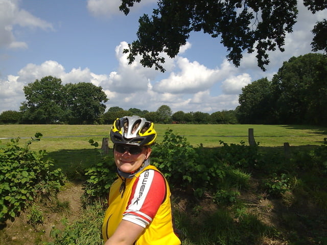
Start bei Gasthof Offen in Lemsahl
GPS tracks
Trackpoints-
GPX / Garmin Map Source (gpx) download
-
TCX / Garmin Training Center® (tcx) download
-
CRS / Garmin Training Center® (crs) download
-
Google Earth (kml) download
-
G7ToWin (g7t) download
-
TTQV (trk) download
-
Overlay (ovl) download
-
Fugawi (txt) download
-
Kompass (DAV) Track (tk) download
-
Track data sheet (pdf) download
-
Original file of the author (gpx) download
More about the tour author
|
|
hegi |
Add to my favorites
Remove from my favorites
Edit tags
Open track
My score
Rate