


Ebenfalls anspruchsvolle Tour für Flachländer.
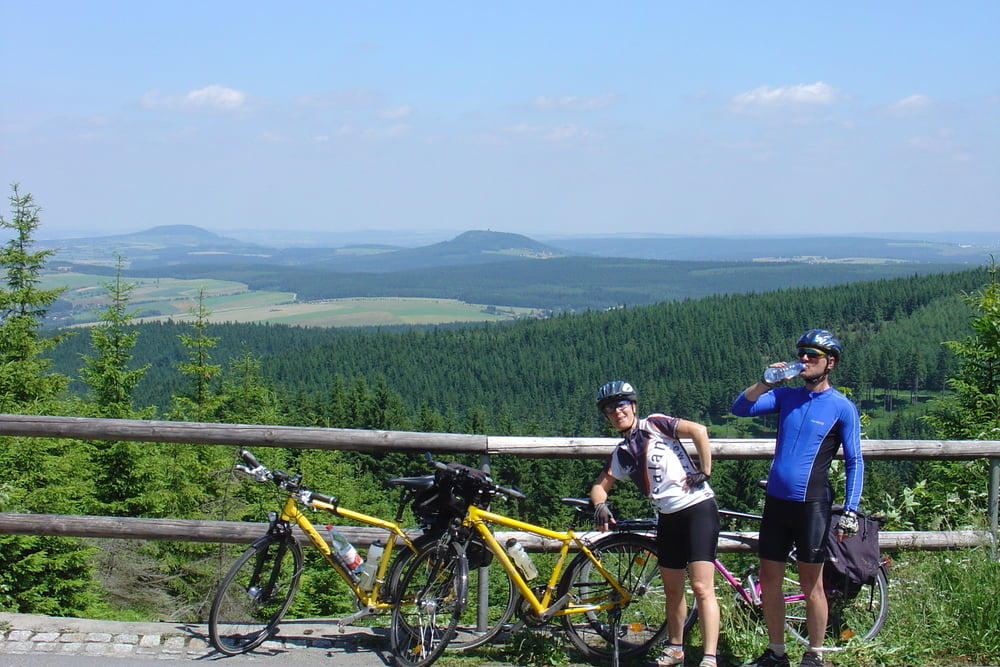
Folgende Orte wurden durchfahren: Vejprty - Oberwiesenthal - Crottendorf - Schlettau - Tannenberg - Wiesa - Drebach - Zschopau - Dittmannsdorf - Einsiedel - Chemnitz
Mit Bahn ging es nach Vejprty auf der tschechischen Seite auf einer neuen ausgebauten Strasse geht es zur Grenze nach Oberwiesenthal. Von hier fährt man dann auf dem Zschopau-Radweg Richtung Chemnitz. Wer nicht mehr bis Chemnitz fahren will, kann in Zschopau auf die Bahn steigen. So verkürzt sich die Strecke auf ca. 66km.
Meist sehr gut ausgebaute Stecke.
Aufgezeichnet am 01.07.2008
Further information at
http://www.fahrradtagebuch.de/zschopau.htmTour gallery
Tour map and elevation profile
Minimum height 320 m
Maximum height 1060 m
More about the tour author
|
|
Poersi |
Comments

Mit der Bahn bis Vejprty
GPS tracks
Trackpoints-
GPX / Garmin Map Source (gpx) download
-
TCX / Garmin Training Center® (tcx) download
-
CRS / Garmin Training Center® (crs) download
-
Google Earth (kml) download
-
G7ToWin (g7t) download
-
TTQV (trk) download
-
Overlay (ovl) download
-
Fugawi (txt) download
-
Kompass (DAV) Track (tk) download
-
Track data sheet (pdf) download
-
Original file of the author (gpx) download
More about the tour author
|
|
Poersi |
Add to my favorites
Remove from my favorites
Edit tags
Open track
My score
Rate