Login

Forgot your login?

Cookies have to be accepted!
Your browser's cookie functionality is disabled. Please enable this functionality.

Not a member yet?

Register now
Login

Available for registred users only

Log in to use this feature.

Forgot your login?

Cookies have to be accepted!
Your browser's cookie functionality is disabled. Please enable this functionality.

Not a member yet?

Register now
Filter
Categories
Advanced filters
  • Distance (km)
  • Height
Save filters Reset filter

TrackRank

QRCode

Technical data

Distance80,9 km Height179 m Way down180 m Duration04:00 h:m Date22.08.2008
Scores Author Landscape Fun factor Fitness Technique

Statistics

831 Views 3 Scores 219 Downloads 3.67 Average
Rate
  • Track data sheet
  • Directions
  • Downloads
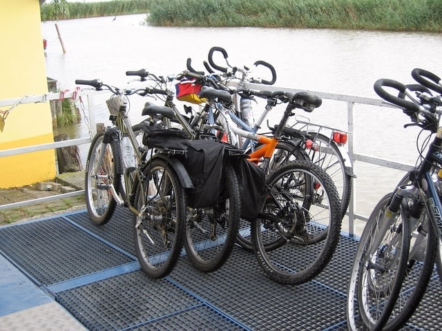
Ohne den Abstecher zum See in Breitenbrunn sind es nur 74km. Überfahrt mit der Fähre von Mörbisch nach Illmitz (ist auch eine nette Abwechslung, ideal für die ganze Family).

Tour gallery

Tour map and elevation profile

  • Open Street Map
  • Google
Minimum height 105 m Maximum height 149 m Detailed view

More about the tour author

rtschump
Member since 2008

Send private message

Comments

xtra3 on 21.09.2010

Standardtour

Dies ist sicherlich die Standardtour für einen Neusiedlersee-Besuch. Der Streckenverlauf ist ziemlich langweilig und führt über breit ausgebaute Radwege. Vom See ist nur wenig zu sehen. Die einzige Herausforderung besteht für den "A" und bei viel Wind.

Vielen Dank an Richard für die Bereitstellung der GPS-Daten.
Herbyp on 27.08.2013

Senioren und Wein

Wunderbare Tour , wenn man schon etwas älter ist und den Wein liebt. Viele Gelegenheiten alleine oder in einer gemütlichen Runde die Fahrt und die Gastronomie zu genießen!
Mit dem Auto oder Zug bis Neusiedl am See.

GPS tracks

Trackpoints
  • GPX / Garmin Map Source (gpx) download
  • TCX / Garmin Training Center® (tcx) download
  • CRS / Garmin Training Center® (crs) download
  • Google Earth (kml) download
  • G7ToWin (g7t) download
  • TTQV (trk) download
  • Overlay (ovl) download
  • Fugawi (txt) download
  • Kompass (DAV) Track (tk) download
  • Track data sheet (pdf) download
  • Original file of the author (gpx) download

More about the tour author

rtschump
Member since 2008

Send private message
Share track
Add to my favorites
Remove from my favorites
Edit tags
My score
Rate
Track: Rund um den Neusiedlersee (B10)
Type: Trekkingbike
Distance: 80,9 km
Evaluated on:
Duration:
Day(s)
Hour(s)
Minute(s)
Score: Landscape Fun factor Fitness Technique