Login

Forgot your login?

Cookies have to be accepted!
Your browser's cookie functionality is disabled. Please enable this functionality.

Not a member yet?

Register now
Login

Available for registred users only

Log in to use this feature.

Forgot your login?

Cookies have to be accepted!
Your browser's cookie functionality is disabled. Please enable this functionality.

Not a member yet?

Register now
Filter
Categories
Advanced filters
  • Distance (km)
  • Height
Save filters Reset filter

TrackRank

QRCode

Technical data

Distance13,3 km Height308 m Way down937 m Duration00:56 h:m Date31.08.2008
Scores Author User Landscape Fun factor Fitness Technique

Statistics

322 Views 1 Score 83 Downloads 5.00 Average
Rate
  • Track data sheet
  • Directions
  • Downloads

Du téléphérique aller vers Maria Waldrast. Puis descendre vers Fulpmes/Neustift.

Le circuit empreinte une partie du Stubai Marathon.
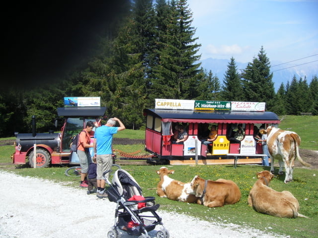
Tour gallery

Tour map and elevation profile

  • Open Street Map
  • Google
Minimum height 923 m Maximum height 1670 m Detailed view

More about the tour author

pascal.67
Member since 2008

Send private message

Comments

Le départ se fait en haut du téléphérique de Mieders

GPS tracks

Trackpoints
  • GPX / Garmin Map Source (gpx) download
  • TCX / Garmin Training Center® (tcx) download
  • CRS / Garmin Training Center® (crs) download
  • Google Earth (kml) download
  • G7ToWin (g7t) download
  • TTQV (trk) download
  • Overlay (ovl) download
  • Fugawi (txt) download
  • Kompass (DAV) Track (tk) download
  • Track data sheet (pdf) download
  • Original file of the author (gpx) download

More about the tour author

pascal.67
Member since 2008

Send private message
Share track
Add to my favorites
Remove from my favorites
Edit tags
My score
Rate
Track: Autriche Ghf. Koppeneck vers Fulpmes/Neustift
Type: Mountain bike
Distance: 13,3 km
Evaluated on:
Duration:
Day(s)
Hour(s)
Minute(s)
Score: Landscape Fun factor Fitness Technique