


Der Vollständigkeit halber auch die Strecke auf den Schatterberg am Niderkaiser. Unspektakulär, obwohl als MTB-Route ausgeschildert. Dauer: 01:10h
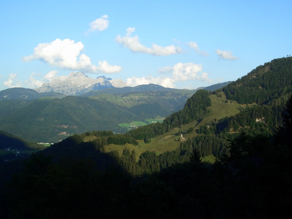
In schönem Tal langsam steigend. Immer auf schottrigem Forstweg. Im oberen Teil nochmals luftig. Ganz oben enttäuschen.
Jähes Ende ohne richtigen Ausblick zwar oben am berg, aber mitten im Wald.
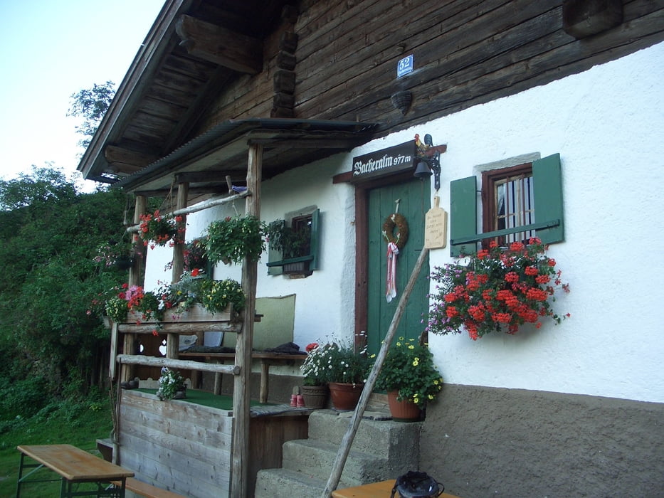
Auch zum Abfahren gibts (ausser der Barcheralm) keine Alternative.
Besser. Abstecher zur Bacheralm (siehe Tour 22576) oder der Klettersteig auf den Gscheuerkopf.
Einkehr: Auch keine.
Further information at
http://www.martin-blum.de/bikeTour gallery
Tour map and elevation profile
Minimum height 760 m
Maximum height 1235 m
More about the tour author
|
|
martin.blum |
Comments

Von Kufstein (Ausfahrt Niederndorf) Richtung Walchsee/ Kössen.
In Kössen am Kreisel nach Süden (St. Johann/ Gschwendt).
Durch das hügelige Land und im Ort Gasteig rechts parken.
1. Entweder am Tennisplatz (siehe Trackdaten)
2. oder ein paar Meter dahinter auf schattigem Parkplatz, wo auch offiziell die MTB-Strecken beginnen (große Schilder)
GPS tracks
Trackpoints-
GPX / Garmin Map Source (gpx) download
-
TCX / Garmin Training Center® (tcx) download
-
CRS / Garmin Training Center® (crs) download
-
Google Earth (kml) download
-
G7ToWin (g7t) download
-
TTQV (trk) download
-
Overlay (ovl) download
-
Fugawi (txt) download
-
Kompass (DAV) Track (tk) download
-
Track data sheet (pdf) download
-
Original file of the author (gpx) download
More about the tour author
|
|
martin.blum |
Add to my favorites
Remove from my favorites
Edit tags
Open track
My score
Rate