

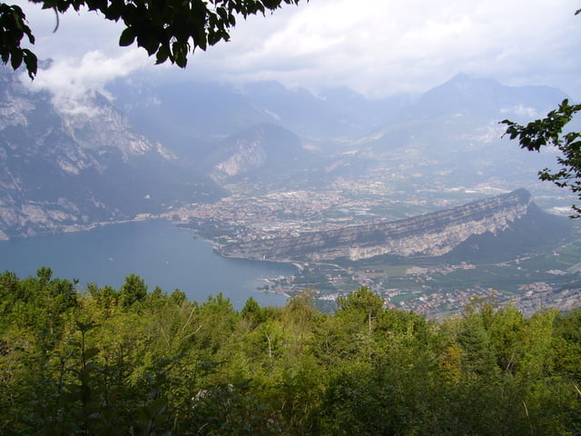
Wir starten am Hotel Villa Stella in Torbole. Von hier geht es in die Innenstadt von Torbole und am Hotel Centrale den Berg hoch, bald auf die Monte Baldo Panoramastrasse. Es geht Serpentine für Serpentine die Asphaltstrasse hoch. Schöne Ausblicke auf den Lago und die umliegenden Städte am Nordufer werden freigelegt.
Am "halben Berg" kann man noch hoch zum Kreuz klettern (sieht man bei der Auffahrt schon) und einen schönen Ausblick geniessen.
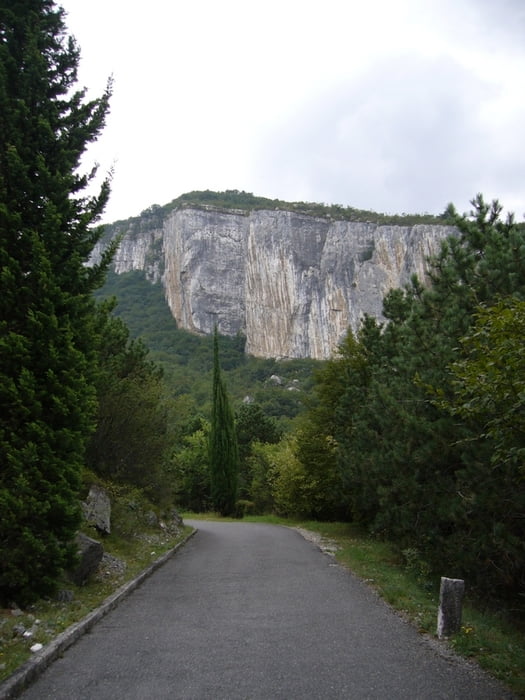
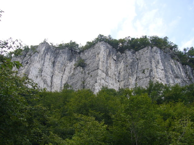
Man fährt die Strasse bis zum Wegabzweig in ca.1070 hm (liegt direkt in einer Kurve) und biegt links in den Wald ab. Hier folgt man sehr lange dem Schotter Waldweg und den Trails. Bei schlechtem Wetter oder Regen am Vortag sieht man danach ziemlich braun aus ;-)
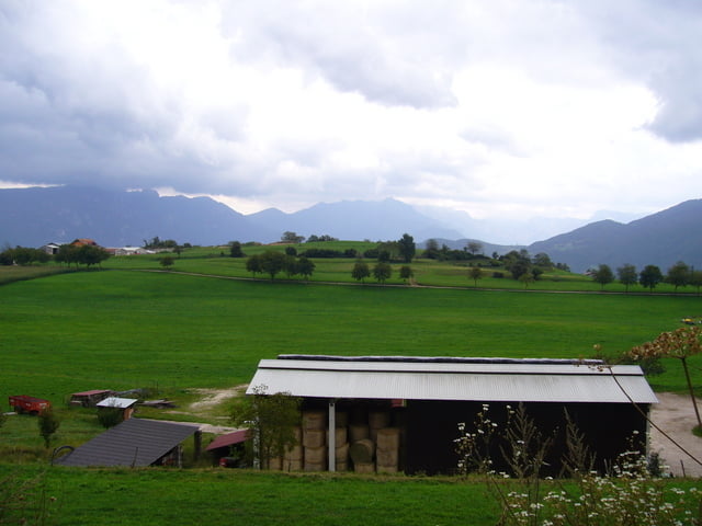
Dann lichtet sich der Wald und man erreicht Festa. Fährt durch Wiesen Gelände und fährt dann in ein kurzes "Mountainbike" beschildertes Stück weiter abwärts. Über Versorgungswege durch die Felder (Apshaltplatten) bis man wieder durch ein Waldstück fährt.
Weiter geht es immer weiter abwärts bis Castione und später Loppio. Ab hier nimmt man dann den Radweg nach Torbol, fährt durch Nago und kommt wieder in der Innenstadt von Torbole an von wo man zurück zum Hotel Villa Stella fährt.
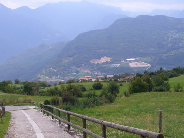
Tour gallery
Tour map and elevation profile
Minimum height 67 m
Maximum height 1129 m
More about the tour author
|
|
dali-sg |
Comments

Hotel Villa Stella in Torbole
GPS tracks
Trackpoints-
GPX / Garmin Map Source (gpx) download
-
TCX / Garmin Training Center® (tcx) download
-
CRS / Garmin Training Center® (crs) download
-
Google Earth (kml) download
-
G7ToWin (g7t) download
-
TTQV (trk) download
-
Overlay (ovl) download
-
Fugawi (txt) download
-
Kompass (DAV) Track (tk) download
-
Track data sheet (pdf) download
-
Original file of the author (gpx) download
More about the tour author
|
|
dali-sg |
Add to my favorites
Remove from my favorites
Edit tags
Open track
My score
Rate