

Burbach, Wahlbach Winchenbach hoch.
Rechts ab nach Hohenseelbachs Kopf.
Nach Pause und Besichtigung der Basaltburg runterfahren nach ALtenseelbach über den Weg Raute 3
Danch über Fahrradweg zum Spielplatz nach Zeppenfeld.
Weiter über Fahrradweg nach Hof Heistern.
Dann über Waldweg entlang der Heller bis Expert Klein.
Das wars
Tour map and elevation profile
Minimum height 103 m
Maximum height 519 m
More about the tour author
|
|
Sejerlenner |
Comments
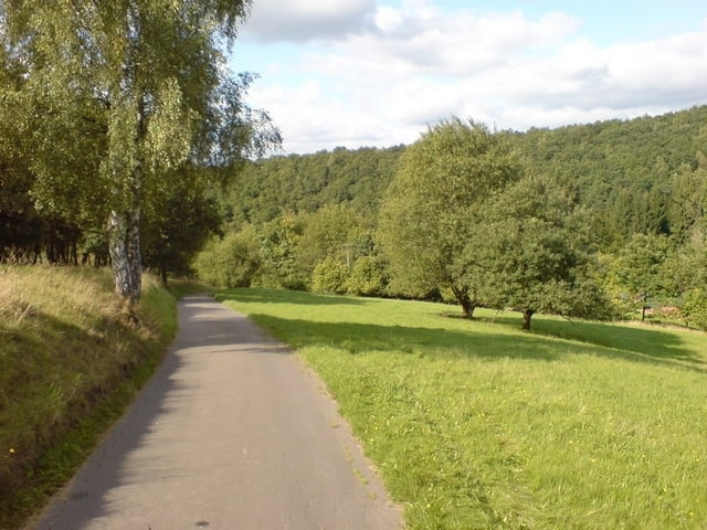
Burbach Kreuzung Hochstraße - Braache
GPS tracks
Trackpoints-
GPX / Garmin Map Source (gpx) download
-
TCX / Garmin Training Center® (tcx) download
-
CRS / Garmin Training Center® (crs) download
-
Google Earth (kml) download
-
G7ToWin (g7t) download
-
TTQV (trk) download
-
Overlay (ovl) download
-
Fugawi (txt) download
-
Kompass (DAV) Track (tk) download
-
Track data sheet (pdf) download
-
Original file of the author (gpx) download
More about the tour author
|
|
Sejerlenner |
Add to my favorites
Remove from my favorites
Edit tags
Open track
My score
Rate
Tour #23352
Bin heute deine Strecke gefahren und ich muss sagen: die Mischebach hoch und bis zum Hohenseelbachskopf ist weniger für Familienausflüge gedacht, sondern eher für schon gut trainierte Menschen. Ich musste teilweise hoch schieben. Aber na gut - hab´s auch bis zur "Spitze" geschafft und dann gings ja erstmal nur bergab ;-) Hat trotz der Anstrengung echt Spass gemacht! Vielen Dank!