


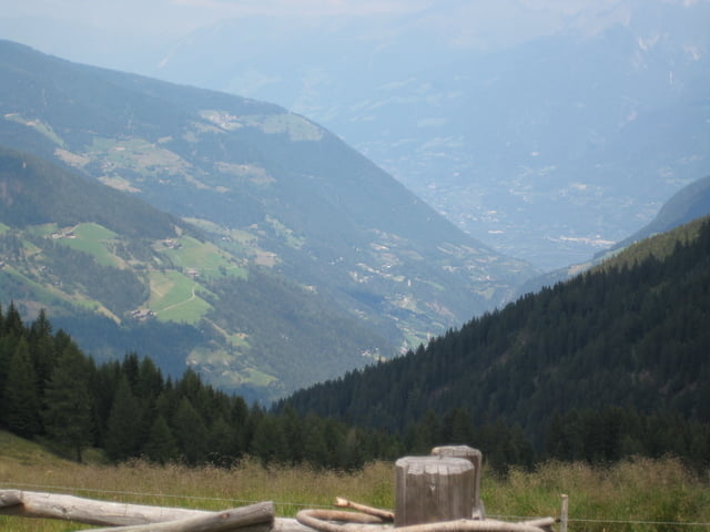
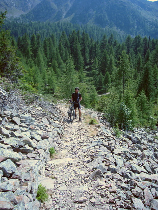
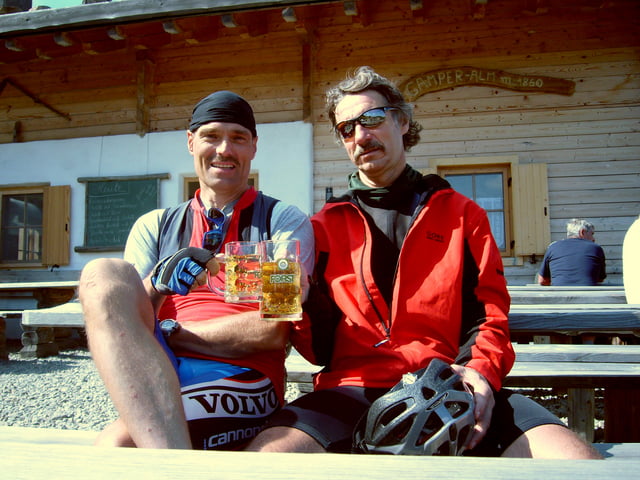
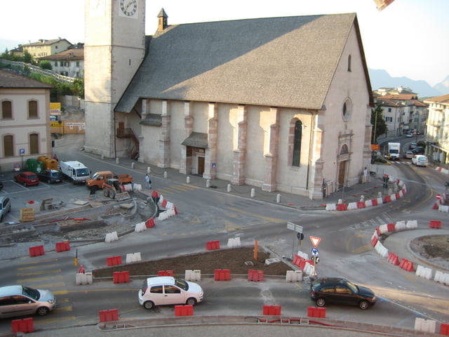
Von Meran nach Lana - über den Abstecher nicht wundern, wir haben dort ein Radsportgeschäft gesucht und gefunden (nach der Uina-Tour hatte es zum Teil mehrere Reifenstollen abgerissen). Es geht über einen steilen Straßenaufstieg ins Ultental bis man an den Zoggler-Stausee (www.ultental-valdultimo.com/seen/zoggler-stausee.html) kommt. Ab hier gehts steil und lange hoch zur Spitzeralm, wo wir eine ausgiebige Mittagspause einlegten. Dann weiter zur Gampenalm mit kurzer Schiebestrecke an einem Geröllhang. Es geht dann über schmale Wege Downhill. Zum Schluss ist Strasse angesagt bis man nach Cles hineinrollt, Das Hotel war oK. Unfassbar war allerdings, dass Bauarbeiter mit schwerem Gerät mitten in der Nacht bis in die frühen Morgenstunden den Kreisverkehr vor dem Hotel weiterbauten. An Schlaf war somit nicht zu denken, am nächsten Tag rächte sich dies. Das Hotel ansonsten war oK.
Further information at
http://www.ultental-valdultimo.com/seen/zoggler-stausee.htmlTour gallery
Tour map and elevation profile
Minimum height 269 m
Maximum height 1958 m
More about the tour author
|
|
mconze |
Comments

Siehe Tag 3 Alpen-X (Nauders - Uina -Sesvenna - Vinschgau - Meran)
GPS tracks
Trackpoints-
GPX / Garmin Map Source (gpx) download
-
TCX / Garmin Training Center® (tcx) download
-
CRS / Garmin Training Center® (crs) download
-
Google Earth (kml) download
-
G7ToWin (g7t) download
-
TTQV (trk) download
-
Overlay (ovl) download
-
Fugawi (txt) download
-
Kompass (DAV) Track (tk) download
-
Track data sheet (pdf) download
-
Original file of the author (gpx) download
More about the tour author
|
|
mconze |
Add to my favorites
Remove from my favorites
Edit tags
Open track
My score
Rate