


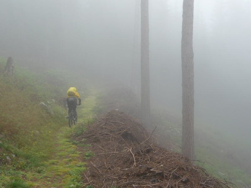
Da es leider recht stark geregnet hat, haben wir darauf verzichtet den Goldseeweg zu fahren. Statt dessen sind wir vom Stilfser Joch wieder direkt Richtung Santa Maria abgefahren. Aber auch das Stück ist fast komplett auf Trails zu fahren. Allerdings teilweise direkt neben der Straße. Nach der Überquerung der kleinen Brücke gibt es einen kleinen Gegenanstieg. Der Trail hinunter nach Santa Maria ist dann aber schön flowig. Und bei der Nässe auch mit der ein oder anderen Herausforderung...
Die GPS-Daten enthalten zwei Tracks, damit man Auffahrt und Abfahrt besser auseinanderhalten kann. Die Auffahrt ist eh entlang der Straße und nicht zu verfehlen.
Tour gallery

Tour map and elevation profile
Minimum height 553 m
Maximum height 2789 m
More about the tour author
|
|
tboettch |
Comments

Die Auffahrt haben wir in Glurns gestartet. Hinter der Kirche kann man kostenlos parken.
GPS tracks
Trackpoints-
GPX / Garmin Map Source (gpx) download
-
TCX / Garmin Training Center® (tcx) download
-
CRS / Garmin Training Center® (crs) download
-
Google Earth (kml) download
-
G7ToWin (g7t) download
-
TTQV (trk) download
-
Overlay (ovl) download
-
Fugawi (txt) download
-
Kompass (DAV) Track (tk) download
-
Track data sheet (pdf) download
-
Original file of the author (gpx) download
More about the tour author
|
|
tboettch |
Add to my favorites
Remove from my favorites
Edit tags
Open track
My score
Rate