Login

Forgotten password?

Cookies have to be accepted!
Your browser's cookie functionality is disabled. Please enable this functionality.

Not a member yet?

Register now
Login

Available for registred users only

Log in to use this feature.

Forgotten password?

Cookies have to be accepted!
Your browser's cookie functionality is disabled. Please enable this functionality.

Not a member yet?

Register now
Filter
Categories
Advanced filters
  • Distance (km)
  • Height
Save filters Reset filter

TrackRank

QRCode

Technical data

Distance48,7 km Height446 m Way down446 m Duration03:30 h:m Date27.09.2008
Scores Author Landscape Fun factor Fitness Technique

Statistics

572 Views Scores 131 Downloads Average
Rate
  • Track data sheet
  • Directions
  • Downloads


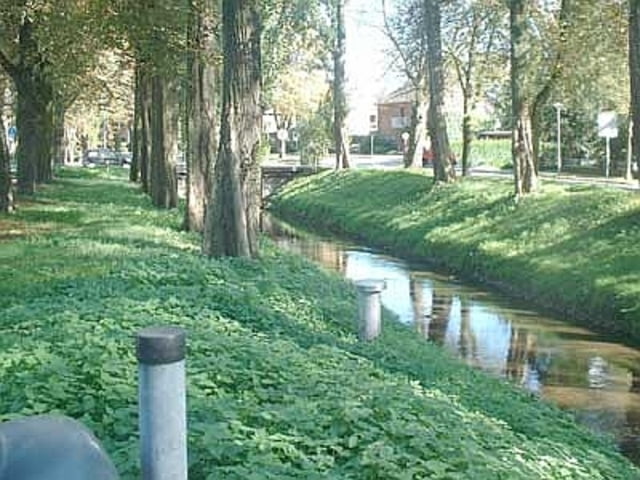
Auf der Deichstrasse entlang des Rheins geht’s in Richtung Duisburg Walsum, von da aus über die alte Trasse in Richtung Gasometer, über die Rotbachroute zurück in Richtung Duisburg / Dinslaken und von da aus zurück in Richtung Voerde.

Tour gallery

Tour map and elevation profile

  • Open Street Map
  • Google
Minimum height 4 m Maximum height 105 m Detailed view

More about the tour author

MikeWeis
Member since 2008

Send private message

Comments

Start 46562 Voerde, Grünstrasse 4, Parkplatz an der Kirche.

GPS tracks

Trackpoints
  • GPX / Garmin Map Source (gpx) download
  • TCX / Garmin Training Center® (tcx) download
  • CRS / Garmin Training Center® (crs) download
  • Google Earth (kml) download
  • G7ToWin (g7t) download
  • TTQV (trk) download
  • Overlay (ovl) download
  • Fugawi (txt) download
  • Kompass (DAV) Track (tk) download
  • Track data sheet (pdf) download
  • Original file of the author (gpx) download

More about the tour author

MikeWeis
Member since 2008

Send private message
Share track
Add to my favorites
Remove from my favorites
Edit tags
My score
Rate
Track: Voerde - Oberhausen - Voerde
Type: Trekkingbike
Distance: 48,7 km
Evaluated on:
Duration:
Day(s)
Hour(s)
Minute(s)
Score: Landscape Fun factor Fitness Technique