Login

Forgot your login?

Cookies have to be accepted!
Your browser's cookie functionality is disabled. Please enable this functionality.

Not a member yet?

Register now
Login

Available for registred users only

Log in to use this feature.

Forgot your login?

Cookies have to be accepted!
Your browser's cookie functionality is disabled. Please enable this functionality.

Not a member yet?

Register now
Filter
Categories
Advanced filters
  • Distance (km)
  • Height
Save filters Reset filter

TrackRank

QRCode

Technical data

Distance41,9 km Height919 m Way down928 m Duration03:30 h:m Date27.09.2008
Scores Author Landscape Fun factor Fitness Technique

Statistics

643 Views Scores 131 Downloads Average
Rate
  • Track data sheet
  • Directions
  • Downloads

Start und Ziel befinden sich am Sportplatz in Büttinghausen.

Der Einstieg in diese Tour kann an folgenden Orten erfolgen:

  1. Golfplatz Hassel
  2. Wanderparkplatz Nespen
  3. An der Kirche in Odenspiel
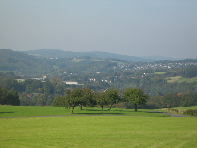
Tour gallery

Tour map and elevation profile

  • Open Street Map
  • Google
Minimum height 211 m Maximum height 428 m Detailed view

More about the tour author

activoli

Comments

GPS tracks

Trackpoints
  • GPX / Garmin Map Source (gpx) download
  • TCX / Garmin Training Center® (tcx) download
  • CRS / Garmin Training Center® (crs) download
  • Google Earth (kml) download
  • G7ToWin (g7t) download
  • TTQV (trk) download
  • Overlay (ovl) download
  • Fugawi (txt) download
  • Kompass (DAV) Track (tk) download
  • Track data sheet (pdf) download
  • Original file of the author (gpx) download

More about the tour author

activoli

Share track
Add to my favorites
Remove from my favorites
Edit tags
My score
Rate
Track: Tour um die Wiehltalsperre
Type: Mountain bike
Distance: 41,9 km
Evaluated on:
Duration:
Day(s)
Hour(s)
Minute(s)
Score: Landscape Fun factor Fitness Technique