


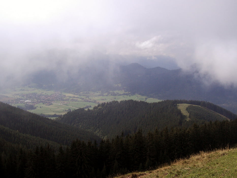
Ein Sessellift bringt uns vom Guggenberg (900 Meter) auf 1400 Meter zum Hörnle Haus. Dort führt die Wanderung zuerst auf das Vordere Hörnle (1450 m) und dann auf das Hintere Hörnle (1548 m). Auf gut ausgebauten Forststraßen geht es wieder hinunter zur Talstation, wo man im Guggenberger Haus eine gute Brotzeit bekommt.
Tour gallery
Tour map and elevation profile
Minimum height 906 m
Maximum height 1567 m
More about the tour author

|
frank_guenther |
Comments

Den Parkplatz zum Lift auf das Hörnle findet man in Bad Kohlgrub an der Fallerstraße: N47.66133, E11.04925
GPS tracks
Trackpoints-
GPX / Garmin Map Source (gpx) download
-
TCX / Garmin Training Center® (tcx) download
-
CRS / Garmin Training Center® (crs) download
-
Google Earth (kml) download
-
G7ToWin (g7t) download
-
TTQV (trk) download
-
Overlay (ovl) download
-
Fugawi (txt) download
-
Kompass (DAV) Track (tk) download
-
Track data sheet (pdf) download
-
Original file of the author (gpx) download
More about the tour author
|
|
frank_guenther |
Add to my favorites
Remove from my favorites
Edit tags
Open track
My score
Rate