


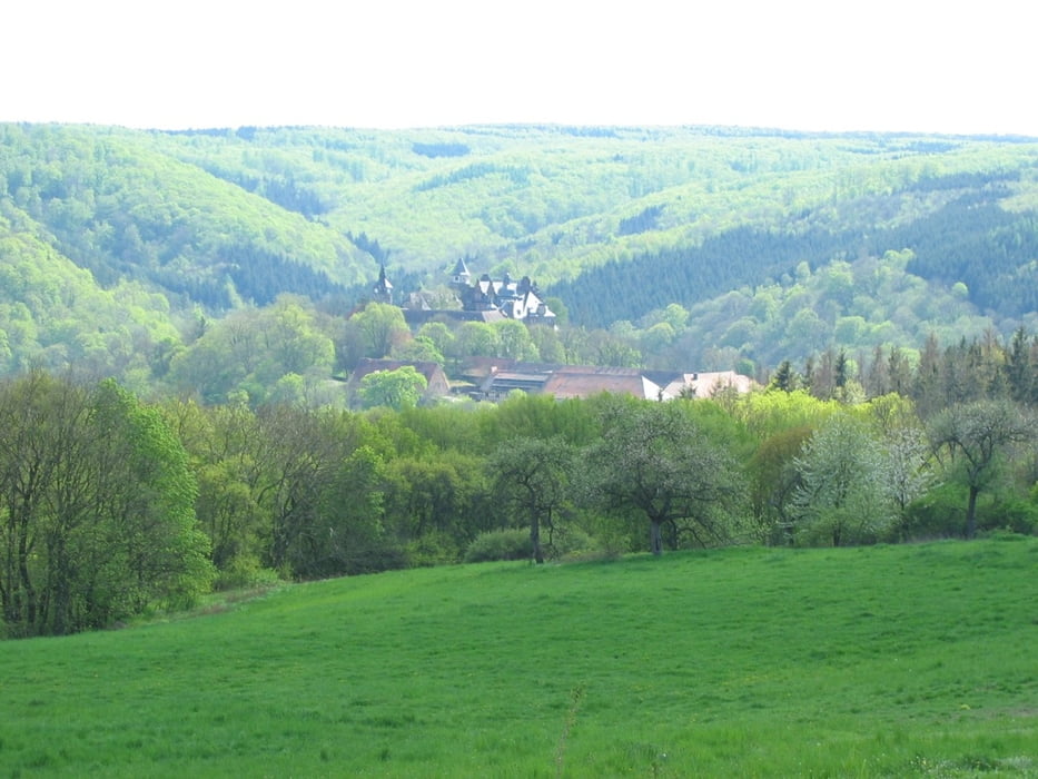
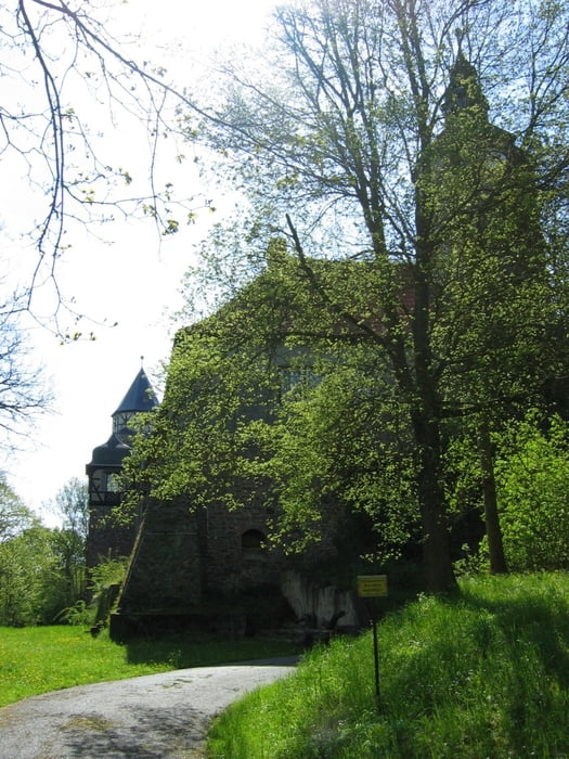
Es geht los in Welbsleben nach Süden. In Harkerode liegt eine alte Burgruine am hang. Ab Alterode verlassen wir die L288 und fahren auf Nebenwegen weiter durchs nette Tal. Hinter Stangerode geht es am Waldrand entlang etwas auf und ab. Erst wenn wir steil bergauf zum Rammelburgblick in den Wald abbiegen winkt oben eien schöne Aussicht und ein Ort zu Pausieren. Mit neuen Kräften kann wer mag sich in das Tal zur Rammelburg stürzen alles was man runter fährt geht es nachher wieder hoch. Zur Entspannung fahren wir jetzt ein Stück die B242 entlang und biegen rechts ab Richtung mansfeld. Von dort geht es über Landstraßen mit weniger Verkehr als auf der B242 zurück über Harkerode nach Welbsleben.
Tour gallery

Tour map and elevation profile
Minimum height 144 m
Maximum height 352 m
More about the tour author

|
Floppel |
Comments

Start ist Am Anger in Welbsleben
GPS tracks
Trackpoints-
GPX / Garmin Map Source (gpx) download
-
TCX / Garmin Training Center® (tcx) download
-
CRS / Garmin Training Center® (crs) download
-
Google Earth (kml) download
-
G7ToWin (g7t) download
-
TTQV (trk) download
-
Overlay (ovl) download
-
Fugawi (txt) download
-
Kompass (DAV) Track (tk) download
-
Track data sheet (pdf) download
-
Original file of the author (gpx) download
More about the tour author
|
|
Floppel |
Add to my favorites
Remove from my favorites
Edit tags
Open track
My score
Rate