


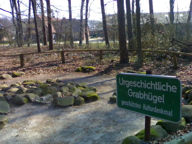
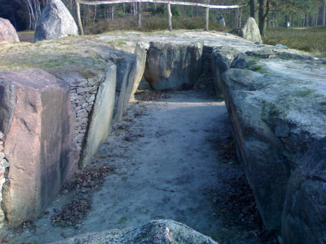
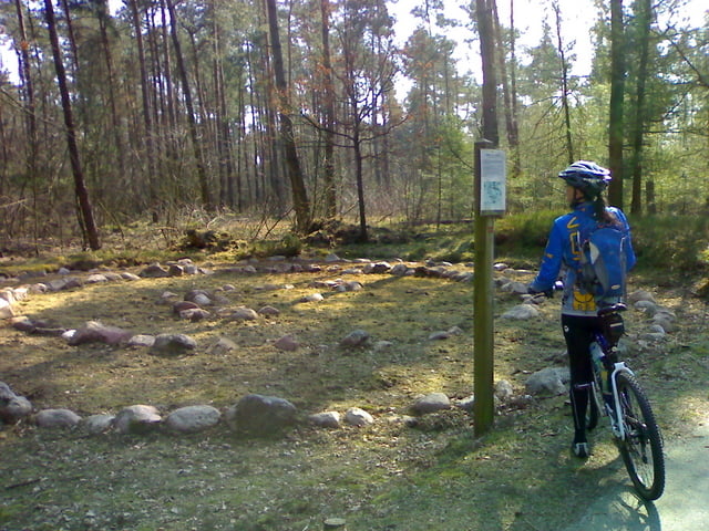
Schöne und vor allem Interessante Biketour durch die Lüneburger Heide besonders für Leute mit Interesse an Naturlehrpfaden. Immer wieder liegen am Wegesrand urgeschichtliche Steingräber und als Highlight ganz besonders die Oldendorfer Totenstadt.
Aber keine Angst, auch wenn der Name der Tour so einiges vermuten lässt, umgekommen ist während der Tour von uns keiner.
Diese Tour ist nicht all zu schwer und kann auch mit einem Tourenrad gefahren werden, wenn man bereit ist, kleinere Stücke auch mal zu schieben.
Tour gallery
Tour map and elevation profile
Minimum height 99999 m
Maximum height -99999 m
More about the tour author
|
|
supermaler |
Comments

siehe Anfahrtskize
GPS tracks
Trackpoints-
GPX / Garmin Map Source (gpx) download
-
TCX / Garmin Training Center® (tcx) download
-
CRS / Garmin Training Center® (crs) download
-
Google Earth (kml) download
-
G7ToWin (g7t) download
-
TTQV (trk) download
-
Overlay (ovl) download
-
Fugawi (txt) download
-
Kompass (DAV) Track (tk) download
-
Track data sheet (pdf) download
-
Original file of the author (gpx) download
More about the tour author
|
|
supermaler |
Add to my favorites
Remove from my favorites
Edit tags
Open track
My score
Rate