Login

Forgot your login?

Cookies have to be accepted!
Your browser's cookie functionality is disabled. Please enable this functionality.

Not a member yet?

Register now
Login

Available for registred users only

Log in to use this feature.

Forgot your login?

Cookies have to be accepted!
Your browser's cookie functionality is disabled. Please enable this functionality.

Not a member yet?

Register now
Filter
Categories
Advanced filters
  • Distance (km)
  • Height
Save filters Reset filter

TrackRank

QRCode

Technical data

Distance90,8 km Height1177 m Way down922 m Duration06:00 h:m Date04.10.2008
Scores Author Landscape Fun factor Fitness Technique

Statistics

322 Views Scores 39 Downloads Average
Rate
  • Track data sheet
  • Directions
  • Downloads

Start in Düren erst flach bis zur Wehebachtalsperre. Ab da über Schotterwege bis zur Dreilägertalsperre mit Steigungen bis zu 17%.

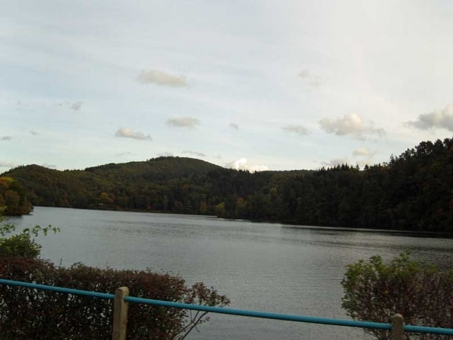
Von dort über Simmerath zum Rursee mit eigentlich moderathen Steigungen.

Vom Rursee bis Kall zum Bahnhof kaum noch Steigungen.
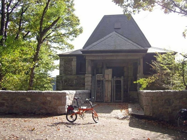
Tour gallery

Tour map and elevation profile

  • Open Street Map
  • Google
Minimum height 118 m Maximum height 579 m Detailed view

More about the tour author

Liegeradfahrer
Member since 2007

Send private message

Comments

Mit der DBgut erreichbar

GPS tracks

Trackpoints
  • GPX / Garmin Map Source (gpx) download
  • TCX / Garmin Training Center® (tcx) download
  • CRS / Garmin Training Center® (crs) download
  • Google Earth (kml) download
  • G7ToWin (g7t) download
  • TTQV (trk) download
  • Overlay (ovl) download
  • Fugawi (txt) download
  • Kompass (DAV) Track (tk) download
  • Track data sheet (pdf) download
  • Original file of the author (gpx) download

More about the tour author

Liegeradfahrer
Member since 2007

Send private message
Share track
Add to my favorites
Remove from my favorites
Edit tags
My score
Rate
Track: Talsperrentour
Type: Trekkingbike
Distance: 90,8 km
Evaluated on:
Duration:
Day(s)
Hour(s)
Minute(s)
Score: Landscape Fun factor Fitness Technique