Login

Forgotten password?

Cookies have to be accepted!
Your browser's cookie functionality is disabled. Please enable this functionality.

Not a member yet?

Register now
Login

Available for registred users only

Log in to use this feature.

Forgotten password?

Cookies have to be accepted!
Your browser's cookie functionality is disabled. Please enable this functionality.

Not a member yet?

Register now
Filter
Categories
Advanced filters
  • Distance (km)
  • Height
Save filters Reset filter

TrackRank

QRCode

Technical data

Distance25,4 km Height1075 m Way down957 m Duration07:00 h:m Date09.10.2008
Scores Author Landscape Fun factor Fitness Technique

Statistics

465 Views Scores 135 Downloads Average
Rate
  • Track data sheet
  • Directions
  • Downloads
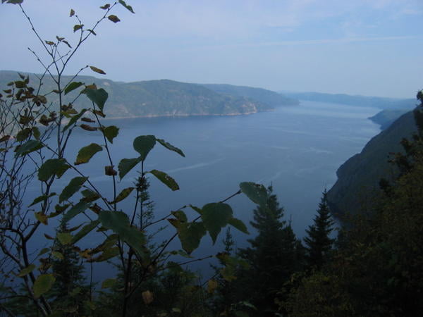
Départ de Riviere Éternité dans le parc du Saguenay. Sentier recommandé sur 2 ou 3 jours. attention sentier linéaire.

Further information at

http://sepaq.com/pq/sag/fr/

Tour gallery

Tour map and elevation profile

  • Open Street Map
  • Google
Minimum height -15 m Maximum height 472 m Detailed view

More about the tour author

arnaudnono
Member since 2008

Send private message

Comments

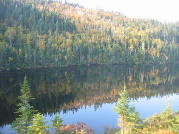
Arrivée Anse St Jean, prévoir 2 véhicules (sentier Linéaire)

GPS tracks

Trackpoints
  • GPX / Garmin Map Source (gpx) download
  • TCX / Garmin Training Center® (tcx) download
  • CRS / Garmin Training Center® (crs) download
  • Google Earth (kml) download
  • G7ToWin (g7t) download
  • TTQV (trk) download
  • Overlay (ovl) download
  • Fugawi (txt) download
  • Kompass (DAV) Track (tk) download
  • Track data sheet (pdf) download
  • Original file of the author (gpx) download

More about the tour author

arnaudnono
Member since 2008

Send private message
Share track
Add to my favorites
Remove from my favorites
Edit tags
My score
Rate
Track: Sentier des Caps
Type: Hiking
Distance: 25,4 km
Evaluated on:
Duration:
Day(s)
Hour(s)
Minute(s)
Score: Landscape Fun factor Fitness Technique