


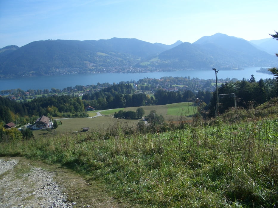
Vom Parkplatz beim Gasthof Sonnbichl erst den Zeiselbach entlang, dann links abbiegen, über die Skilifte, Waxelmoosalm und Aueralm zum Fockenstein.
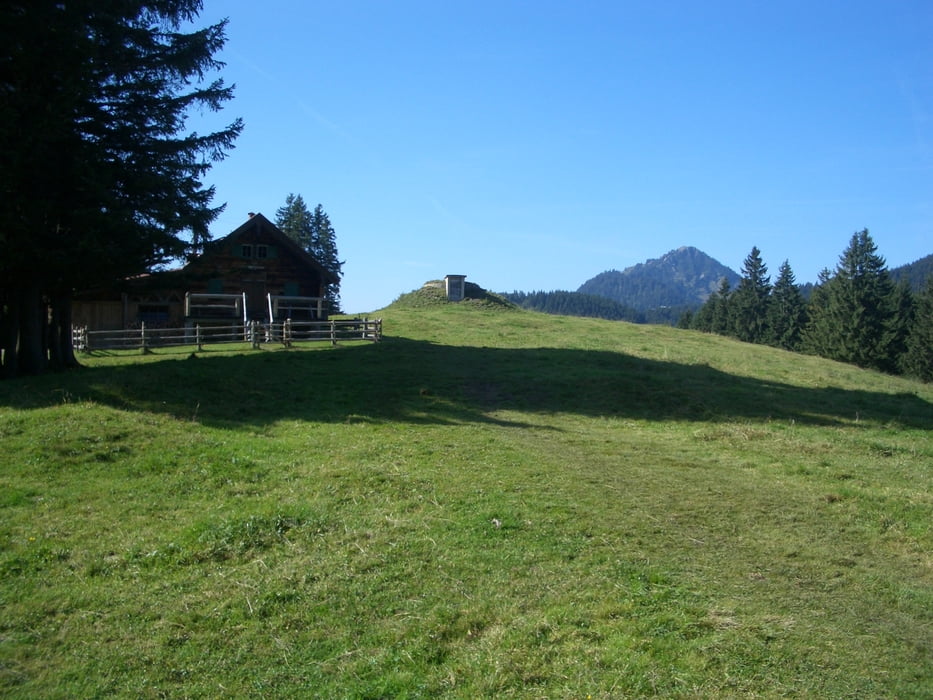
Der Rückweg über die Neuhüttenalm und Aueralm, wo eine kurze Rast zu empfehlen ist.
Kurz nach der Aueralm links abbiegen, einen schmalen Pfad entlang,
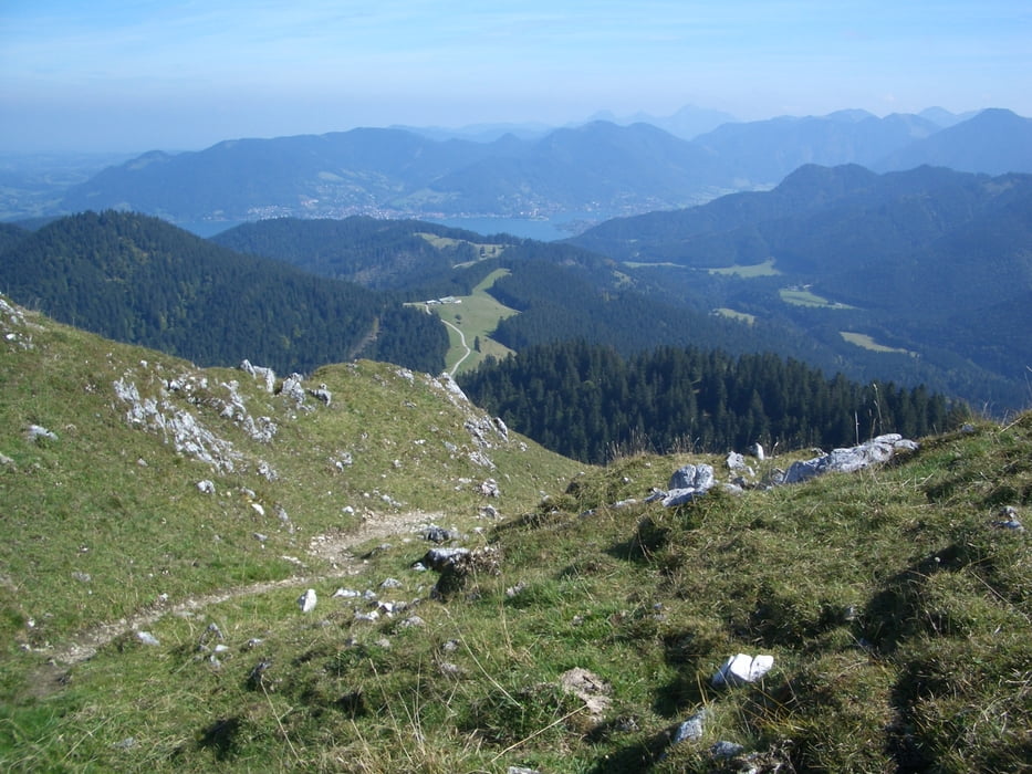
wir später normaler Waldweg.
Nach einiger Zeit biegt rechts ein markierter Weg Richtung Sonnenbichl ab, auf dem man wieder zum Zeiselbach kommt und dann zurück zum Parkplatz.
Tour gallery
Tour map and elevation profile
Minimum height 780 m
Maximum height 1558 m
More about the tour author

|
bruno68 |
Comments

GPS tracks
Trackpoints-
GPX / Garmin Map Source (gpx) download
-
TCX / Garmin Training Center® (tcx) download
-
CRS / Garmin Training Center® (crs) download
-
Google Earth (kml) download
-
G7ToWin (g7t) download
-
TTQV (trk) download
-
Overlay (ovl) download
-
Fugawi (txt) download
-
Kompass (DAV) Track (tk) download
-
Track data sheet (pdf) download
-
Original file of the author (gpx) download
More about the tour author
|
|
bruno68 |
Add to my favorites
Remove from my favorites
Edit tags
Open track
My score
Rate