


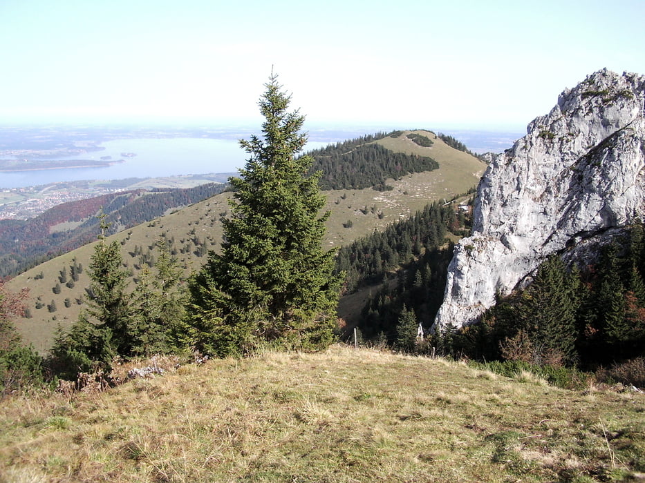
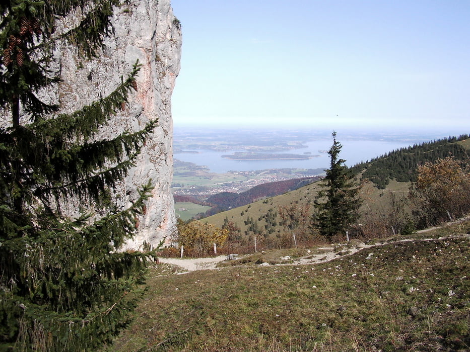
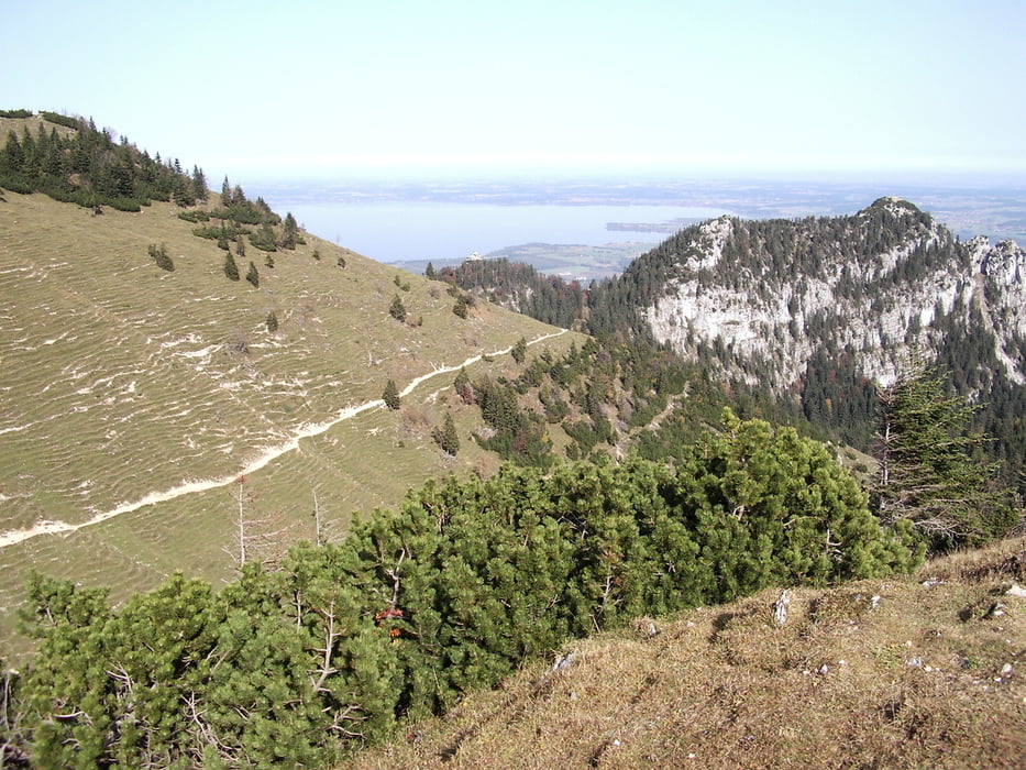
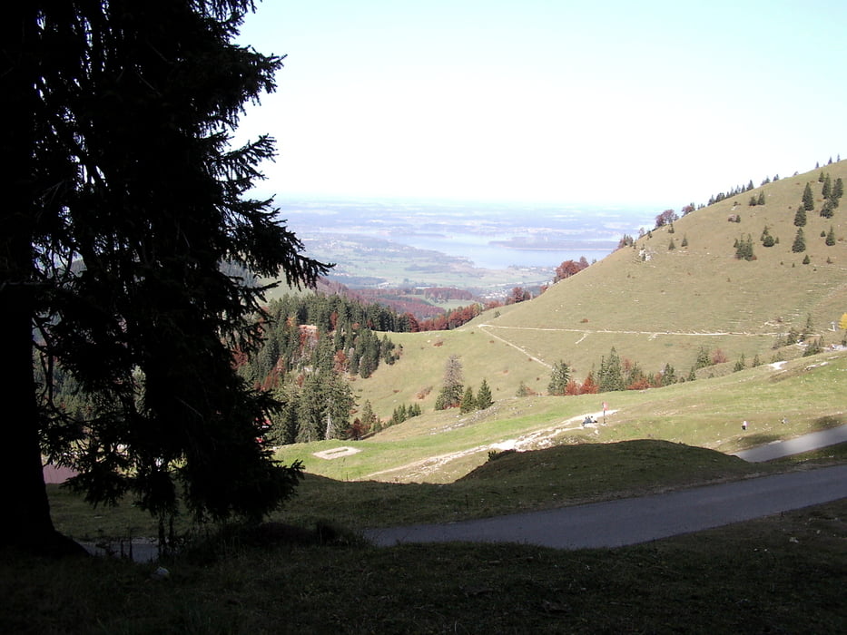
Von der Bergstation der Kampenwandbahn (1467 m) gehen wir zuerst auf dem breiten Panoramaweg bis zur Sterlingsalm hinüber. Vom Panoramaweg hat man einen atemberaubenden Blick auf den Chiemsee und das Voralpenland. Der Abstieg beginnt an der Sterlingsalm und führt über die Schlechtenberger Alm bis zur Talstation in Hohenaschau.
Tour gallery
Tour map and elevation profile
Minimum height 621 m
Maximum height 1508 m
More about the tour author

|
frank_guenther |
Comments

Den Parkplatz an der Talstation (620 m) der Kampenwandbahn findet man in Hohenaschau. "An der Bergbahn" : N47.76487, E12.32515
GPS tracks
Trackpoints-
GPX / Garmin Map Source (gpx) download
-
TCX / Garmin Training Center® (tcx) download
-
CRS / Garmin Training Center® (crs) download
-
Google Earth (kml) download
-
G7ToWin (g7t) download
-
TTQV (trk) download
-
Overlay (ovl) download
-
Fugawi (txt) download
-
Kompass (DAV) Track (tk) download
-
Track data sheet (pdf) download
-
Original file of the author (gpx) download
More about the tour author
|
|
frank_guenther |
Add to my favorites
Remove from my favorites
Edit tags
Open track
My score
Rate