


Die Tour beginnt an der Bergstation Zettersfeld.
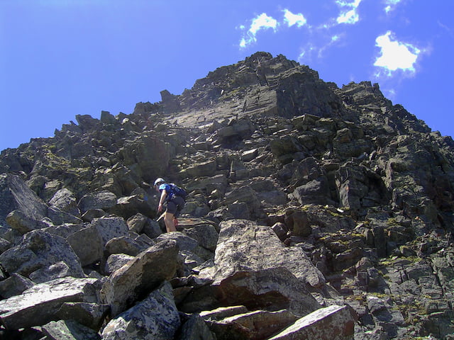
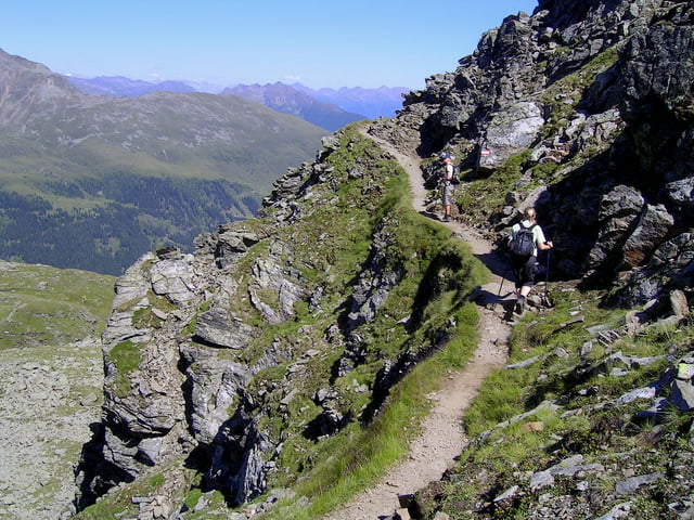
Am Anfang hatte ich keinen Sattelitenempfang aber wir folgen den Schildern in Richtung Neualplseen. An den Seen angekommen geht ein Pfad in Richtung Sattelköpfe bergauf. Am Gipfelkreuz legen wir die Kletterausrüstung an und klettern in Richtung Schleinitz. (Wir waren im Juni 2007 dort und mußten feststellen, dass der Steig in keinem guten Zustand war. Einige Seile waren durch Steinschlag lose oder fehlten.)
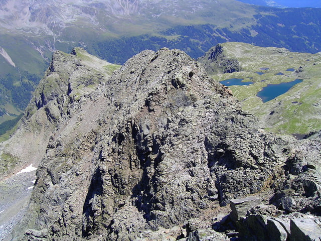
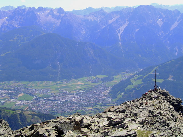
Nach 2h sind wir am Schleinitz angekommen und genießen die wunderbare Sicht auf die Lienzer Dolomiten. Der Absieg geht über ein Block- und Geröllfeld, am Neualplschneid vorbei und wieder in Richtung Bergstation zurück.
Tour gallery
Tour map and elevation profile
Minimum height 2205 m
Maximum height 2915 m
More about the tour author
|
|
Bikerharry |
Comments

GPS tracks
Trackpoints-
GPX / Garmin Map Source (gpx) download
-
TCX / Garmin Training Center® (tcx) download
-
CRS / Garmin Training Center® (crs) download
-
Google Earth (kml) download
-
G7ToWin (g7t) download
-
TTQV (trk) download
-
Overlay (ovl) download
-
Fugawi (txt) download
-
Kompass (DAV) Track (tk) download
-
Track data sheet (pdf) download
-
Original file of the author (gpx) download
More about the tour author
|
|
Bikerharry |
Add to my favorites
Remove from my favorites
Edit tags
Open track
My score
Rate