


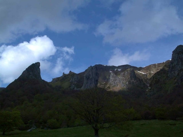
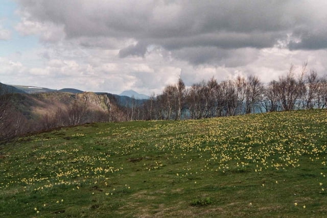
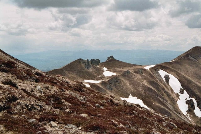
Sehr schöne Wanderung durch das Vallée de Chaudefour.Ausgangspunkt is am Skilift von Moneaux. Anschließend geht es über einen Bergrücken in Tal von Chaudefour mit Blick auf den Puy Ferrand. Beim Anstieg an diesen Gipfel ergeben sich schöne Ausblick auch bis zum Puy de Dome und das Chantal Massiv im Süden.
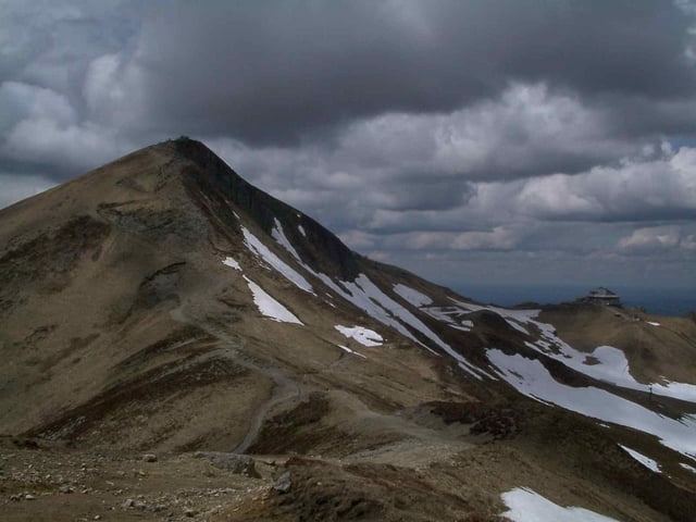
Vorbei an der Bergstation der Skistation von Super-Besse weiter Richtung Puy de Sancy und über den nördlichen Berggrat vom Vallée de Chaudefour und eine Skipiste zurück zum Parkplatz.
Tour gallery
Tour map and elevation profile
Minimum height 1149 m
Maximum height 1828 m
More about the tour author
|
|
msdetroit |
Comments

GPS tracks
Trackpoints-
GPX / Garmin Map Source (gpx) download
-
TCX / Garmin Training Center® (tcx) download
-
CRS / Garmin Training Center® (crs) download
-
Google Earth (kml) download
-
G7ToWin (g7t) download
-
TTQV (trk) download
-
Overlay (ovl) download
-
Fugawi (txt) download
-
Kompass (DAV) Track (tk) download
-
Track data sheet (pdf) download
-
Original file of the author (gpx) download
More about the tour author
|
|
msdetroit |
Add to my favorites
Remove from my favorites
Edit tags
Open track
My score
Rate