


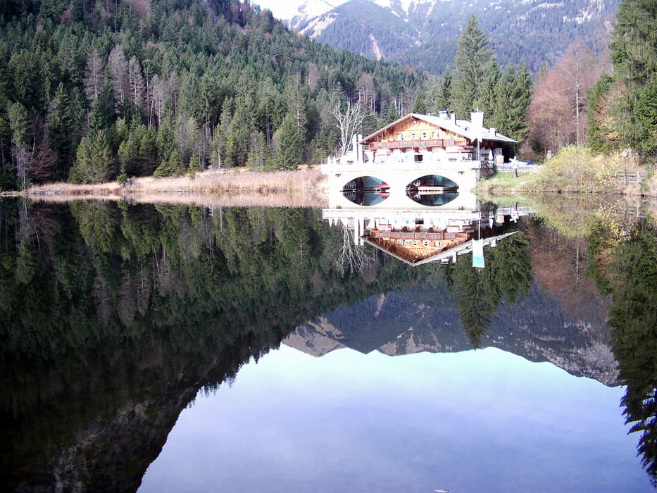
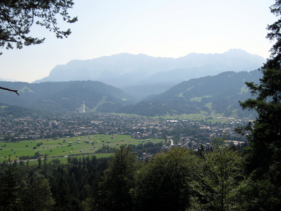
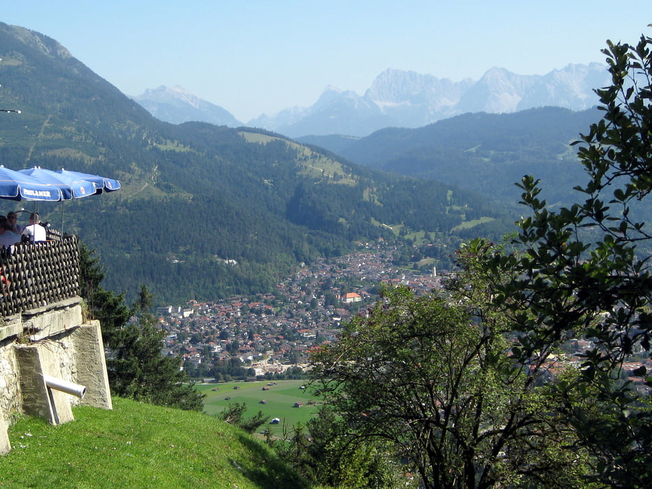
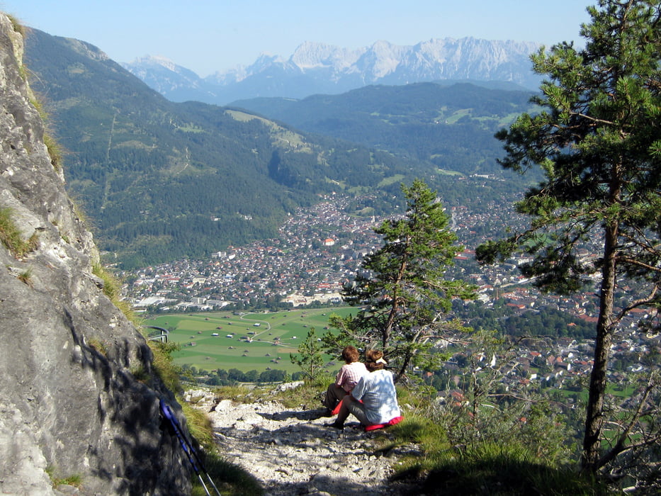
Wir starten die Tour am Pflegersee und gehen einen fast ebenen Höhenweg (Kellerleitenweg) bis zum Anstieg zum Gasthof St. Martin (1030m). Dort hat man Gelegenheit für eine gute Brotzeit. Weiter geht es auf gut ausgebauten Wanderwegen mit herrlichen Ausblicken über Garmisch Partenkirchen bis zu unserem Ziel dem Königstand (1453m). Zurück gelangen wir auf dem selben Weg.
Tour gallery
Tour map and elevation profile
Minimum height 864 m
Maximum height 1515 m
More about the tour author

|
frank_guenther |
Comments

Ausgandspunkt ist der Parkplatz am Pflegersee bei Garmisch Partenkirchen, Pflegerseestraße: N47.52039, E11.08179
GPS tracks
Trackpoints-
GPX / Garmin Map Source (gpx) download
-
TCX / Garmin Training Center® (tcx) download
-
CRS / Garmin Training Center® (crs) download
-
Google Earth (kml) download
-
G7ToWin (g7t) download
-
TTQV (trk) download
-
Overlay (ovl) download
-
Fugawi (txt) download
-
Kompass (DAV) Track (tk) download
-
Track data sheet (pdf) download
-
Original file of the author (gpx) download
More about the tour author
|
|
frank_guenther |
Add to my favorites
Remove from my favorites
Edit tags
Open track
My score
Rate