


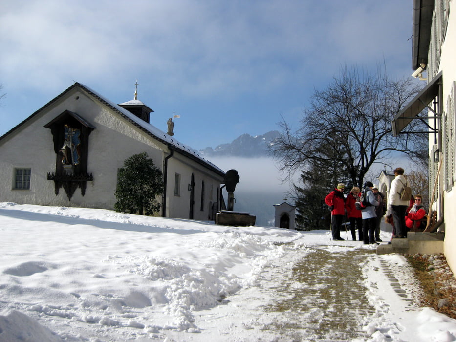
Von Lenggries aus gehen wir an Wiesen entlang bis zum Kalvarienberg und die 50 Stufen (?) zur Kapelle hinauf. Anschließend kommen wir am Schloss Hohenburg vorbei. Es entstand in den Jahren 1712 bis 1718 und ist im klassischen Barrockstil gehalten. In das Schloß wurden Teile einer alten Burg verbaut, die aus dem 11. Jahrhundert stammte. Die alte Burg Hohenburg wurde 1707 durch eine Feuerbrunst zerstört.
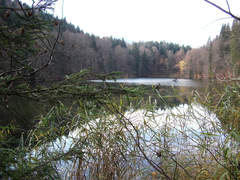
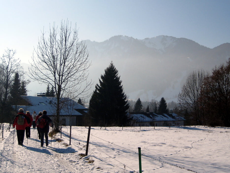
Wir wandern weiter durch Wälder entlang von stillen, versteckten Weihern, über Wiesen und an Feldern vorbei und steigen auf die Denkalm (920m) hinauf. Dort gibt es eine gute Brotzeit.
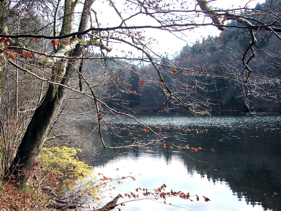
Der Rückweg führt uns wieder durch Wald am Tratenbach entlang bis Lenggrieß.
Tour gallery
Tour map and elevation profile
Minimum height 679 m
Maximum height 968 m
More about the tour author

|
frank_guenther |
Comments

Startpunkt ist ein Parkplatz in Lenggries (Karwendelstrasse): N47.679762, E11.578173
GPS tracks
Trackpoints-
GPX / Garmin Map Source (gpx) download
-
TCX / Garmin Training Center® (tcx) download
-
CRS / Garmin Training Center® (crs) download
-
Google Earth (kml) download
-
G7ToWin (g7t) download
-
TTQV (trk) download
-
Overlay (ovl) download
-
Fugawi (txt) download
-
Kompass (DAV) Track (tk) download
-
Track data sheet (pdf) download
-
Original file of the author (gpx) download
More about the tour author
|
|
frank_guenther |
Add to my favorites
Remove from my favorites
Edit tags
Open track
My score
Rate