Login

Forgotten password?

Cookies have to be accepted!
Your browser's cookie functionality is disabled. Please enable this functionality.

Not a member yet?

Register now
Login

Available for registred users only

Log in to use this feature.

Forgotten password?

Cookies have to be accepted!
Your browser's cookie functionality is disabled. Please enable this functionality.

Not a member yet?

Register now
Filter
Categories
Advanced filters
  • Distance (km)
  • Height
Save filters Reset filter

TrackRank

QRCode

Technical data

Distance35,9 km Height2454 m Way down1983 m Duration10:00 h:m Date18.11.2008
Scores Author Landscape Fun factor Fitness Technique

Statistics

1330 Views 1 Score 17 Downloads 4.00 Average
Rate
  • Track data sheet
  • Directions
  • Downloads
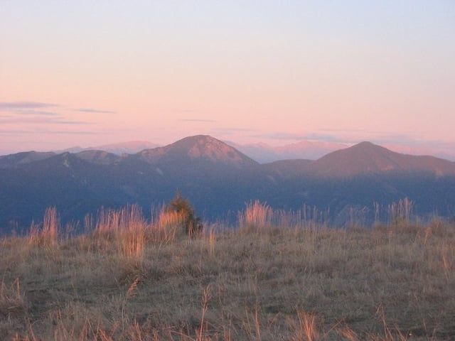
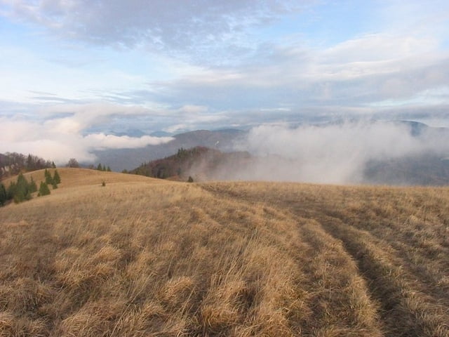
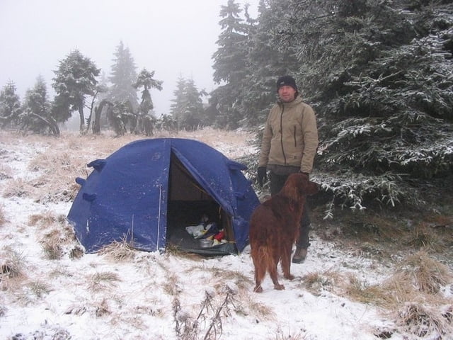
Nizna Revuca - vrch Zvolen - - Krizna - Kysky - - Ploska - Vysna Revuca. Photos see http://zbartos.rajce.idnes.cz/VHT_Velka_Fatra_15.-17._11._2008/ .

Tour gallery

Tour map and elevation profile

  • Open Street Map
  • Google
Minimum height 231 m Maximum height 1594 m Detailed view

More about the tour author

zbartos
Member since 2006

Send private message

Comments

zbartos on 07.12.2008

total climbing

I have used also barometric altimeter naviiON http://www.naviion.cz/us/ , so I can put here more correct data about climbing and descending during this trip:
total climbing - 2400 m
total descending - 2360 m

More informations from my GPS device:
nett time of walking - cca 10:36 hours
waiting time - cca 5:47 hours
gross time of the trip: 16:23 hours
average speed of walking - 3,3 km/hour

GPS tracks

Trackpoints
  • GPX / Garmin Map Source (gpx) download
  • TCX / Garmin Training Center® (tcx) download
  • CRS / Garmin Training Center® (crs) download
  • Google Earth (kml) download
  • G7ToWin (g7t) download
  • TTQV (trk) download
  • Overlay (ovl) download
  • Fugawi (txt) download
  • Kompass (DAV) Track (tk) download
  • Track data sheet (pdf) download
  • Original file of the author (gpx) download

More about the tour author

zbartos
Member since 2006

Send private message
Share track
Add to my favorites
Remove from my favorites
Edit tags
My score
Rate
Track: Nižná Liptovská Revúca - vrch Zvolen - Križna - Vyšná Liptovská Revúca
Type: Mountain hiking
Distance: 35,9 km
Evaluated on:
Duration:
Day(s)
Hour(s)
Minute(s)
Score: Landscape Fun factor Fitness Technique