


Mehrtageswanderung von Weißenburg i. Bay nach Beratzhausen
Dies ist kein durchgängig gleichausgeschilderter Weg, vielmehr eine Wanderung von Ortswegen zu Fernwegen und durchs Gelände. Aber stets auf Wegen, Pfaden oder Ähnlichem
- Weißenburg i. Bay. - Aberzhausen
- Aberzhausen - Abtei Plankstetten
- Abtei Plankstetten - Wallfahrtskirche Eichlberg
- Wallfahrtskirche Eichlberg - Beratzhausen (Friesenmühle)
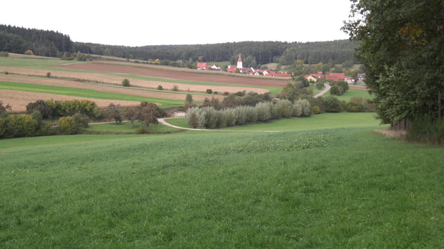
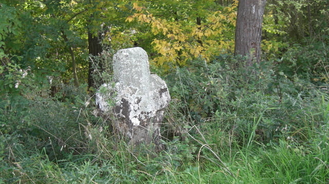
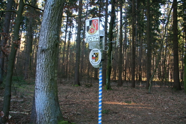
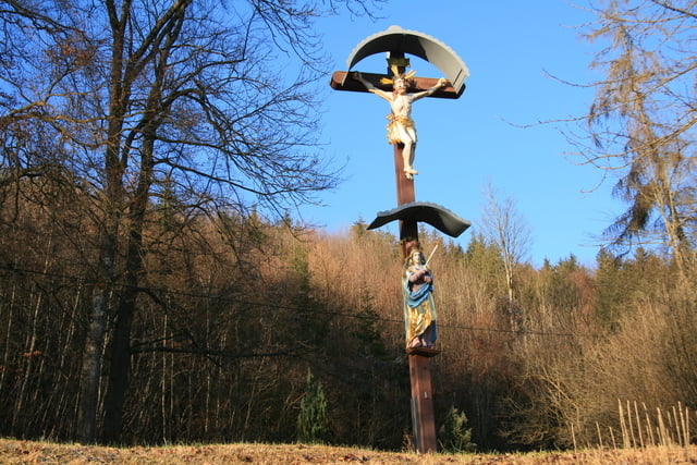
Tour gallery
Tour map and elevation profile
Minimum height 395 m
Maximum height 571 m
More about the tour author
|
|
Rezatfisch |
Comments

GPS tracks
Trackpoints-
GPX / Garmin Map Source (gpx) download
-
TCX / Garmin Training Center® (tcx) download
-
CRS / Garmin Training Center® (crs) download
-
Google Earth (kml) download
-
G7ToWin (g7t) download
-
TTQV (trk) download
-
Overlay (ovl) download
-
Fugawi (txt) download
-
Kompass (DAV) Track (tk) download
-
Track data sheet (pdf) download
-
Original file of the author (gpx) download
More about the tour author
|
|
Rezatfisch |
Add to my favorites
Remove from my favorites
Edit tags
Open track
My score
Rate