
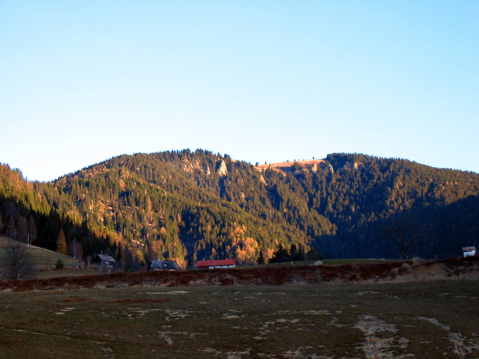

Nezahtevna tura, nikjer izpostavljena razen na vrhu Komna. Pot je dobro markirana, vendar pa sem sam izbral prvi del nemarkiran, ki je sprva zelo strm brez poti in oznak, nato pa se nadaljuje po gozdni vlaki vse do planine Bezovec, od tam naprej pa so zopet markacije. Tistim, ki se držijo raje markacij svetujem da se od kmetije Tratnik držite markacij vse točke, ki sem jo označil "Križišče" in nadaljujete pot proti Komnu (1 ura do vrha) po markirani poti. Od Koma proti Hlipavcu in nato nazaj mimo Partizanske bolnice sem se držal markacij vse do izhodišča.
Tour gallery


Tour map and elevation profile
Minimum height 528 m
Maximum height 1682 m
More about the tour author

|
katurocman |
Comments

GPS tracks
Trackpoints-
GPX / Garmin Map Source (gpx) download
-
TCX / Garmin Training Center® (tcx) download
-
CRS / Garmin Training Center® (crs) download
-
Google Earth (kml) download
-
G7ToWin (g7t) download
-
TTQV (trk) download
-
Overlay (ovl) download
-
Fugawi (txt) download
-
Kompass (DAV) Track (tk) download
-
Track data sheet (pdf) download
-
Original file of the author (gpx) download
More about the tour author
|
|
katurocman |
Add to my favorites
Remove from my favorites
Edit tags
Open track
My score
Rate