


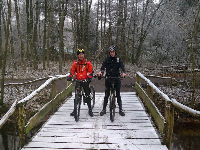
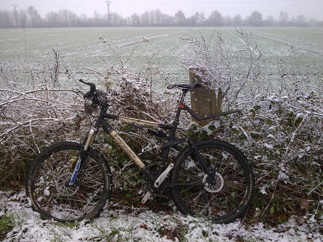
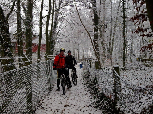
los gehts in lemsahl. kurz durchs alstertal und dann via hainesch iland zum saselbek trail, dann weiter auf dem volksdorfer trail richtung wulfsdorf und dann über hagen richtung sieker pfad, von dort am westufer des großensees in die pefferberge dann weiter richtung hoisdorf und durch die rauhenberg zum ahrensburger trail und dann durch volksdorf heim!
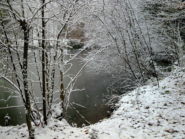
und da die tour bei schnee stattgefunden hat, hat sie von mir diese einschätzungen bekommen!
Further information at
http://www.hegibiketours.de/Tour gallery
Tour map and elevation profile
Minimum height 5 m
Maximum height 71 m
More about the tour author
|
|
hegi |
Comments

hamburg lemsahl! dort kann man in dern wohngegenden sein auto ggf. parken
GPS tracks
Trackpoints-
GPX / Garmin Map Source (gpx) download
-
TCX / Garmin Training Center® (tcx) download
-
CRS / Garmin Training Center® (crs) download
-
Google Earth (kml) download
-
G7ToWin (g7t) download
-
TTQV (trk) download
-
Overlay (ovl) download
-
Fugawi (txt) download
-
Kompass (DAV) Track (tk) download
-
Track data sheet (pdf) download
-
Original file of the author (gpx) download
More about the tour author
|
|
hegi |
Add to my favorites
Remove from my favorites
Edit tags
Open track
My score
Rate