


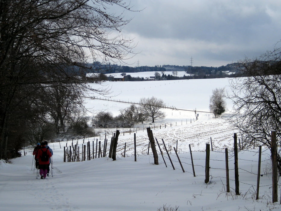
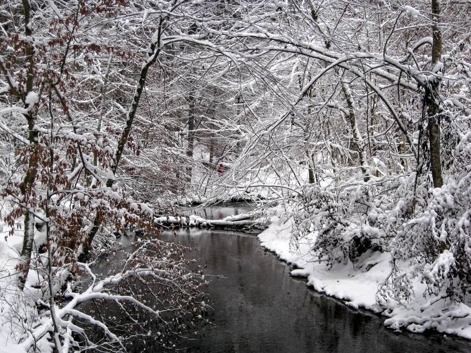
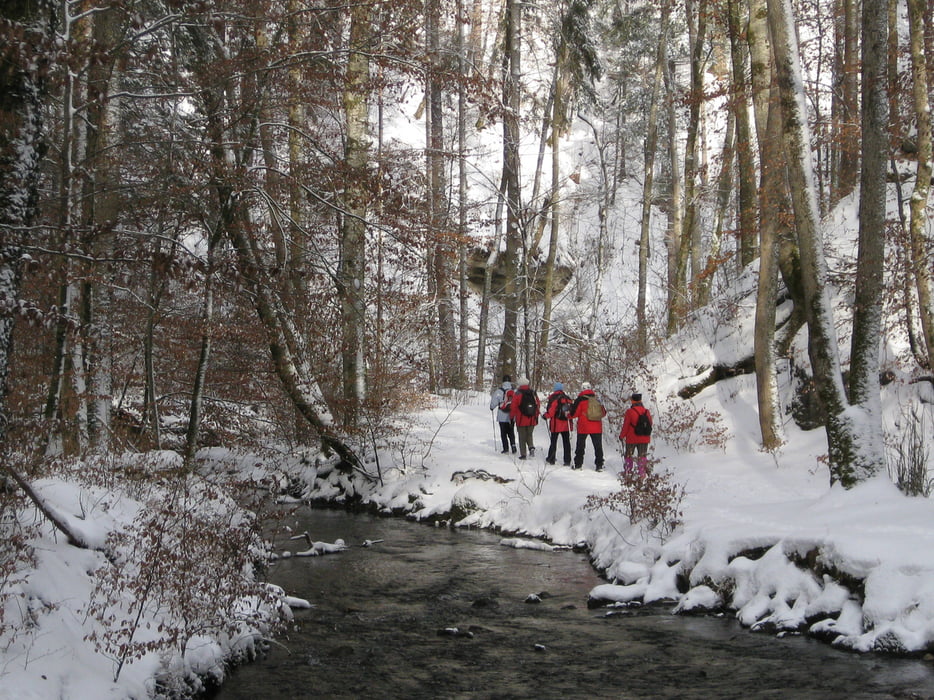
Unsere Tour beginnt an der Maisinger Schlucht Straße. Über Forstwege und Wiesen führt uns der Weg auf den 50m hohen Pilsner Berg. Von dort geht es weiter in Richtung Maising und dem Maisinger See. Auf dem Rückweg kommen wir in Maising am Gasthof Georg Ludwig vorbei, wo man gut zu Mittag essen kann. Vom Gasthof gehen wir die Ortstraße hinunter bis zum Schluchtweg. Durch die Maisinger Schlucht wandern wir zurück zum Ausgangspunkt.
Tour gallery

Tour map and elevation profile
Minimum height 600 m
Maximum height 754 m
More about the tour author

|
frank_guenther |
Comments
Startpunkt der Tour ist in Starnberg, Maisinger Schlucht Straße, am Wasserwerk: N47,9977870 , E11,3280630. Dort gibt es Parkmöglichkeiten.
GPS tracks
Trackpoints-
GPX / Garmin Map Source (gpx) download
-
TCX / Garmin Training Center® (tcx) download
-
CRS / Garmin Training Center® (crs) download
-
Google Earth (kml) download
-
G7ToWin (g7t) download
-
TTQV (trk) download
-
Overlay (ovl) download
-
Fugawi (txt) download
-
Kompass (DAV) Track (tk) download
-
Track data sheet (pdf) download
-
Original file of the author (gpx) download
More about the tour author
|
|
frank_guenther |
Add to my favorites
Remove from my favorites
Edit tags
Open track
My score
Rate
Maisacher Schlucht