Login

Forgotten password?

Cookies have to be accepted!
Your browser's cookie functionality is disabled. Please enable this functionality.

Not a member yet?

Register now
Login

Available for registred users only

Log in to use this feature.

Forgotten password?

Cookies have to be accepted!
Your browser's cookie functionality is disabled. Please enable this functionality.

Not a member yet?

Register now
Filter
Categories
Advanced filters
  • Distance (km)
  • Height
Save filters Reset filter

TrackRank

QRCode

Technical data

Distance12,3 km Height557 m Way down562 m Duration03:00 h:m Date28.12.2008
Scores Author Landscape Fun factor Fitness Technique

Statistics

3516 Views Scores 152 Downloads Average
Rate
  • Track data sheet
  • Directions
  • Downloads

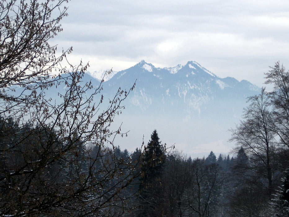
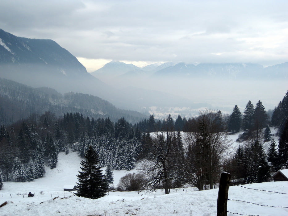
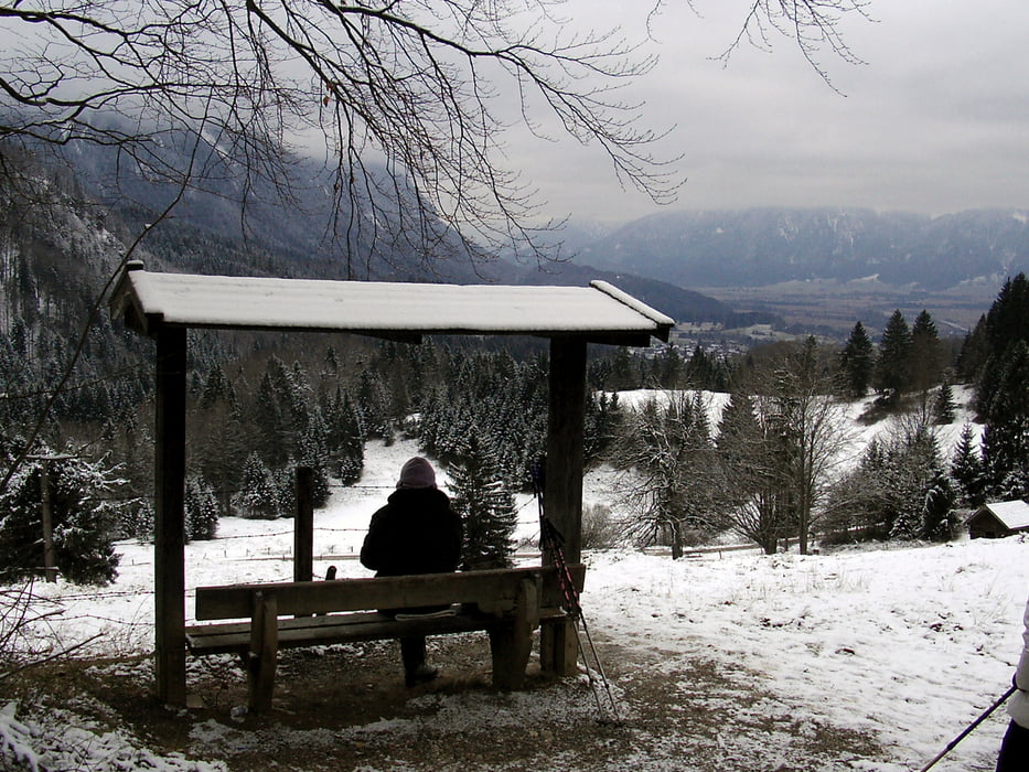
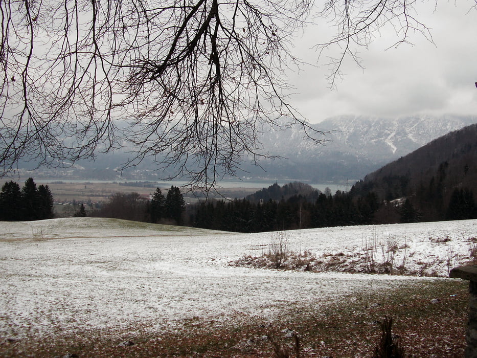
Von Ohlstadt aus wandern wir auf gut ausgebauten Wegen entlang von Wiesen und durch Wälder. Unser Weg führt uns vorbei am Samerberg, Hohentanne und Hirchberg bis zur Kreut-Alm. Dort besteht eine gute Einkehr Möglichkeit im Alpengasthof "Kreut Alm".

Zurück gehen wir auf dem selben Weg.

Tour gallery

Tour map and elevation profile

  • Open Street Map
  • Google
Minimum height 693 m Maximum height 967 m Detailed view

More about the tour author

frank_guenther
Member since 2008

Send private message

Comments

Startpunkt ist Ohlstadt in der Hagrainstrasse. Dort gibt es Parkmöglichkeiten:  N 47,634272, E 11,241374

GPS tracks

Trackpoints
  • GPX / Garmin Map Source (gpx) download
  • TCX / Garmin Training Center® (tcx) download
  • CRS / Garmin Training Center® (crs) download
  • Google Earth (kml) download
  • G7ToWin (g7t) download
  • TTQV (trk) download
  • Overlay (ovl) download
  • Fugawi (txt) download
  • Kompass (DAV) Track (tk) download
  • Track data sheet (pdf) download
  • Original file of the author (gpx) download

More about the tour author

frank_guenther
Member since 2008

Send private message
Share track
Add to my favorites
Remove from my favorites
Edit tags
My score
Rate
Track: Von Ohlstadt auf die Kreut Alm
Type: Hiking
Distance: 12,3 km
Evaluated on:
Duration:
Day(s)
Hour(s)
Minute(s)
Score: Landscape Fun factor Fitness Technique