


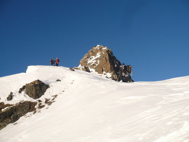
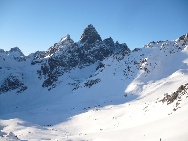
- Von der Tuoi-Hütte Richtung Osten aufsteigen, anfangs einfach hoch, dann immer links halten an der Geröllhaufen links vorbei um dann in einem weiten Bogen nach rechts Richtung der Furcletta 2735 hm aufzusteigen.
- Dort bietet sich ein traumhafter Blich auf das dahinter gelegene Tal, kann hier auch noch nach Lust abfahren und wieder hoch zur Furcletta aufsteigen.
- Abfahrt wie Aufstieg
Further information at
http://www.tuoi.ch/Tour gallery


Tour map and elevation profile
Minimum height 2240 m
Maximum height 2787 m
More about the tour author
|
|
ckindler |
Comments

Von München:
Garmischer Autobahn A95, Garmisch beim Hobie Bäcker Frühstücken, weiter über Lermoos, Fernpass, Imst, Landeck, Scoul, Guarda.
Vor Guarda auf dem Parkplatz parken (Gebührenpflichtig), von hier ca 2 h Aufstieg zur Tuoi-Hütte.
GPS tracks
Trackpoints-
GPX / Garmin Map Source (gpx) download
-
TCX / Garmin Training Center® (tcx) download
-
CRS / Garmin Training Center® (crs) download
-
Google Earth (kml) download
-
G7ToWin (g7t) download
-
TTQV (trk) download
-
Overlay (ovl) download
-
Fugawi (txt) download
-
Kompass (DAV) Track (tk) download
-
Track data sheet (pdf) download
-
Original file of the author (gpx) download
More about the tour author
|
|
ckindler |
Add to my favorites
Remove from my favorites
Edit tags
Open track
My score
Rate