


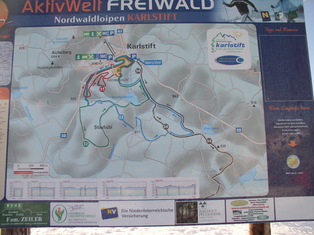
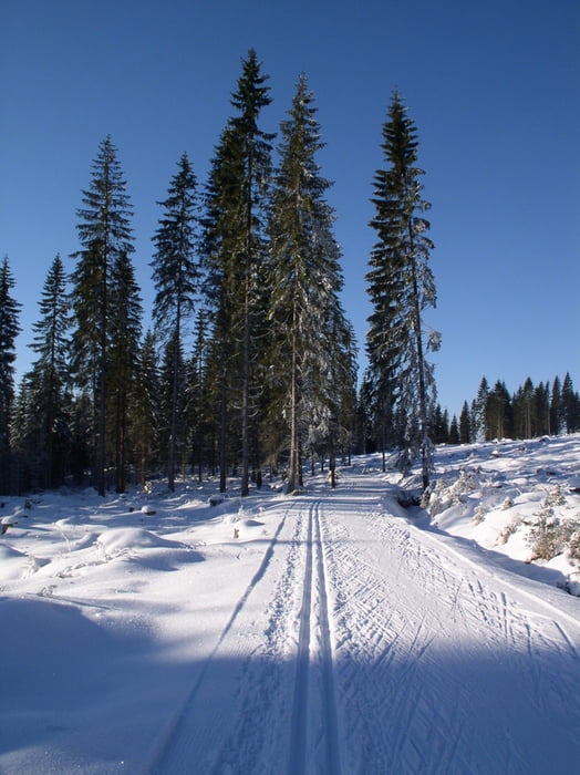
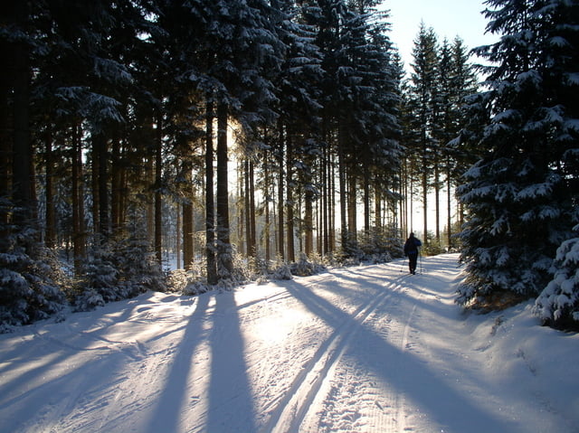
Im schönen Fichtenhochwald hügelig und gut gespurt (klassisch und Skaterspur) 12 km von Karlstift an der niederösterreichisch - oberösterreichisch - tschechischen Grenze vorbei am privaten Kolmteich bis zum Kampursprung (Grenze NÖ - OÖ) und dann über die Wiesen von Liebenau zum Wendepunkt mit Gastronomie.
Der Rückweg sind teilweise die selben Wege.
Further information at
http://www.aichelberglifte.at/www/winter/langlauf.htmTour gallery
Tour map and elevation profile
Minimum height 879 m
Maximum height 982 m
More about the tour author
|
|
gsimon |
Comments
Von Freistadt im Mühlviertel oder Zwettl im Waldviertel die meist gut befahrbare Böhmerwaldbundesstraße nach Karlstift. Die Bundesbuslinie Freistadt - Gmünd verkehrt ebenfalls durch Karlstift.
Eigene Parkplätze für Langläufer an der östlichen Ortsausfahrt. Startpunkt weiterer Loipen.
GPS tracks
Trackpoints-
GPX / Garmin Map Source (gpx) download
-
TCX / Garmin Training Center® (tcx) download
-
CRS / Garmin Training Center® (crs) download
-
Google Earth (kml) download
-
G7ToWin (g7t) download
-
TTQV (trk) download
-
Overlay (ovl) download
-
Fugawi (txt) download
-
Kompass (DAV) Track (tk) download
-
Track data sheet (pdf) download
-
Original file of the author (gpx) download
More about the tour author
|
|
gsimon |
Add to my favorites
Remove from my favorites
Edit tags
Open track
My score
Rate
Langlaufparadies Mühlviertel - Waldviertel
Dieses Langlaufgebiet ist sensationell!!!
Ruckweg über Fraunwieserteich sehr empfehlenswert!