Login

Forgot your login?

Cookies have to be accepted!
Your browser's cookie functionality is disabled. Please enable this functionality.

Not a member yet?

Register now
Login

Available for registred users only

Log in to use this feature.

Forgot your login?

Cookies have to be accepted!
Your browser's cookie functionality is disabled. Please enable this functionality.

Not a member yet?

Register now
Filter
Categories
Advanced filters
  • Distance (km)
  • Height
Save filters Reset filter

TrackRank

QRCode

Technical data

Distance10,5 km Height459 m Way down475 m Duration00:00 h:m Date10.08.2003
Scores Author Landscape Fun factor Fitness Technique

Statistics

2527 Views Scores 324 Downloads Average
Rate
  • Track data sheet
  • Directions
  • Downloads
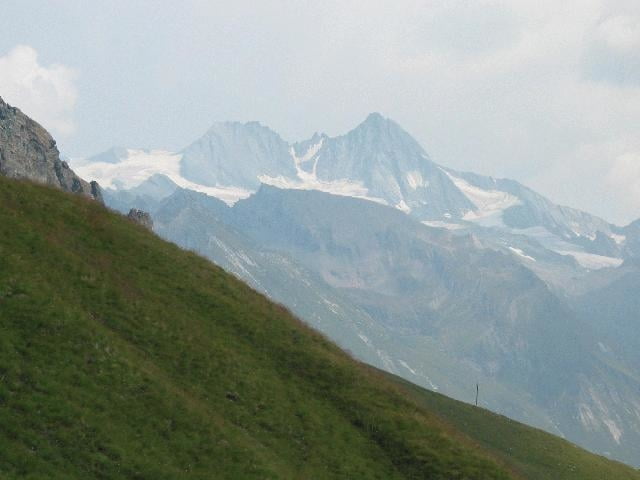
Es gibt eine Schotterstraße bis zum Kals-Matreier-Törl. Wir aber nahmen die Seilbahn zur Auf- und Abfahrt. Die anschließende Wanderung zur Hütte ist bequem, der Aufstieg zur Blauspitze hat kurz vor dem Ziel Bergsteige-Charakter.

Tour gallery

Tour map and elevation profile

  • Open Street Map
  • Google
Minimum height 2203 m Maximum height 2601 m Detailed view

More about the tour author

rjkas
Member since 2003

Send private message

Comments

GPS tracks

Trackpoints
  • GPX / Garmin Map Source (gpx) download
  • TCX / Garmin Training Center® (tcx) download
  • CRS / Garmin Training Center® (crs) download
  • Google Earth (kml) download
  • G7ToWin (g7t) download
  • TTQV (trk) download
  • Overlay (ovl) download
  • Fugawi (txt) download
  • Kompass (DAV) Track (tk) download
  • Track data sheet (pdf) download

More about the tour author

rjkas
Member since 2003

Send private message
Share track
Add to my favorites
Remove from my favorites
Edit tags
My score
Rate
Track: Blauspitze
Type: Hiking
Distance: 10,5 km
Evaluated on:
Duration:
Day(s)
Hour(s)
Minute(s)
Score: Landscape Fun factor Fitness Technique