Login

Forgotten password?

Cookies have to be accepted!
Your browser's cookie functionality is disabled. Please enable this functionality.

Not a member yet?

Register now
Login

Available for registred users only

Log in to use this feature.

Forgotten password?

Cookies have to be accepted!
Your browser's cookie functionality is disabled. Please enable this functionality.

Not a member yet?

Register now
Filter
Categories
Advanced filters
  • Distance (km)
  • Height
Save filters Reset filter

TrackRank

QRCode

Technical data

Distance4,6 km Height155 m Way down141 m Duration02:00 h:m Date02.02.2009
Scores Author Landscape Fun factor Fitness Technique

Statistics

288 Views Scores 7 Downloads Average
Rate
  • Track data sheet
  • Directions
  • Downloads
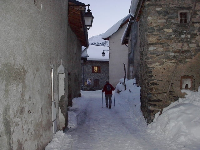
Een mooie wandeling van het dorp Sardières naar de monoliet en terug. Er is een ruime parking bij de kerk.

Tour gallery

Tour map and elevation profile

  • Open Street Map
  • Google
Minimum height 1498 m Maximum height 1641 m Detailed view

More about the tour author

jefhoremans
Member since 2008

Send private message

Comments

Vertrek aan de kerk van Sardières.

GPS tracks

Trackpoints
  • GPX / Garmin Map Source (gpx) download
  • TCX / Garmin Training Center® (tcx) download
  • CRS / Garmin Training Center® (crs) download
  • Google Earth (kml) download
  • G7ToWin (g7t) download
  • TTQV (trk) download
  • Overlay (ovl) download
  • Fugawi (txt) download
  • Kompass (DAV) Track (tk) download
  • Track data sheet (pdf) download
  • Original file of the author (gpx) download

More about the tour author

jefhoremans
Member since 2008

Send private message
Share track
Add to my favorites
Remove from my favorites
Edit tags
My score
Rate
Track: Van Sardières naar de Monoliet
Type: Snowshoeing
Distance: 4,6 km
Evaluated on:
Duration:
Day(s)
Hour(s)
Minute(s)
Score: Landscape Fun factor Fitness Technique