


Eine etwas ungewöhnliche Tour.
Vom Hauser Kaibling ging es vorbei an der Kaiblingalm auf den Höchstein und dann zurück auf die Planai.
Der Höchstein bietet einen herrlichen Blick über das obere Ennstal und der Rückweg über dem Untertal, mit wunderbarem Blick auf den Golling ist sicherlich ein weiteres Erlebnis.
Vom Hauser Kaibling ging es vorbei an der Kaiblingalm auf den Höchstein und dann zurück auf die Planai.
Der Höchstein bietet einen herrlichen Blick über das obere Ennstal und der Rückweg über dem Untertal, mit wunderbarem Blick auf den Golling ist sicherlich ein weiteres Erlebnis.
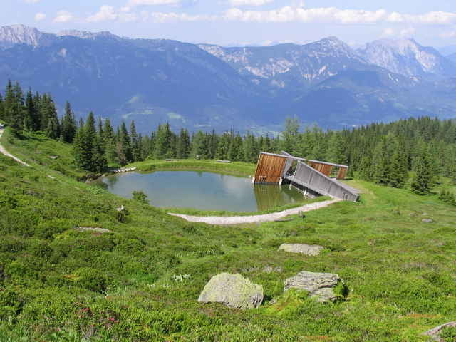
Tour gallery
Tour map and elevation profile
Minimum height 1784 m
Maximum height 2539 m
More about the tour author
|
|
PeterH |
Comments
B 320 nach Haus, von dort mit der "Tauern Seilbahn" zur Krummholzhütte
GPS tracks
Trackpoints-
GPX / Garmin Map Source (gpx) download
-
TCX / Garmin Training Center® (tcx) download
-
CRS / Garmin Training Center® (crs) download
-
Google Earth (kml) download
-
G7ToWin (g7t) download
-
TTQV (trk) download
-
Overlay (ovl) download
-
Fugawi (txt) download
-
Kompass (DAV) Track (tk) download
-
Track data sheet (pdf) download
-
Original file of the author (gpx) download
More about the tour author
|
|
PeterH |
Add to my favorites
Remove from my favorites
Edit tags
Open track
My score
Rate
höchstein