Login

Forgotten password?

Cookies have to be accepted!
Your browser's cookie functionality is disabled. Please enable this functionality.

Not a member yet?

Register now
Login

Available for registred users only

Log in to use this feature.

Forgotten password?

Cookies have to be accepted!
Your browser's cookie functionality is disabled. Please enable this functionality.

Not a member yet?

Register now
Filter
Categories
Advanced filters
  • Distance (km)
  • Height
Save filters Reset filter

TrackRank

QRCode

Technical data

Distance97,9 km Height2016 m Way down2152 m Duration00:00 h:m Date08.02.2009
Scores Author Landscape Fun factor Fitness Technique

Statistics

330 Views Scores 33 Downloads Average
Rate
  • Track data sheet
  • Directions
  • Downloads

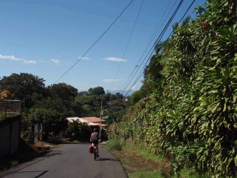
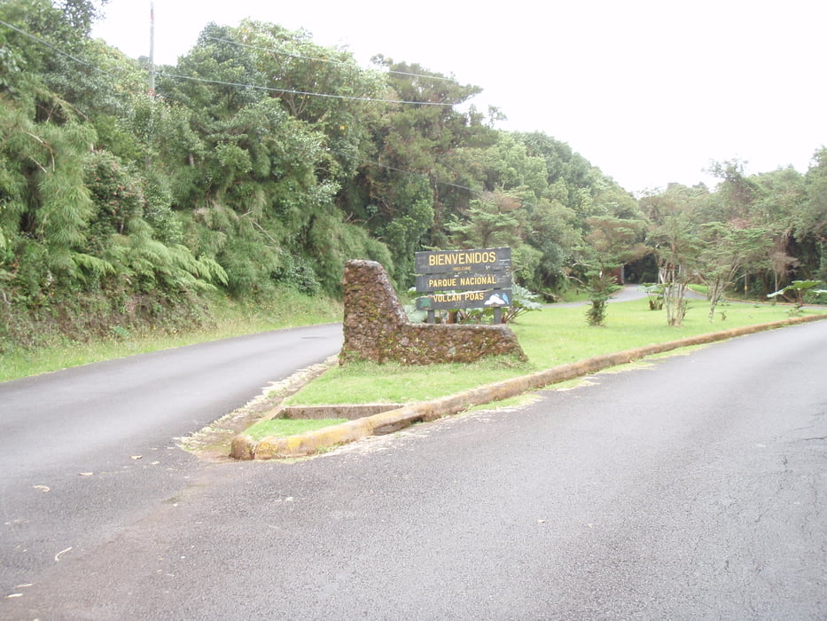
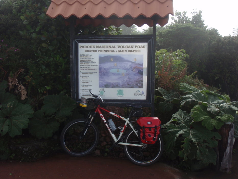
Bezoek aan het natuurpark Poas.

Eenvoudig te bezoeken vanuit San Jose of vanaf de Internationale Luchthaven.

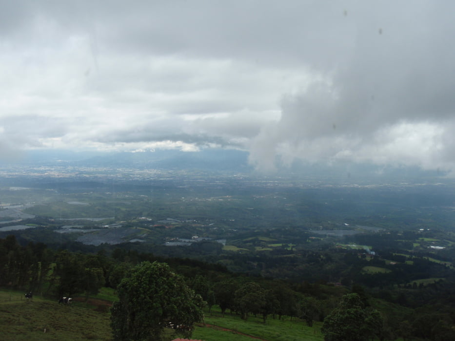
Ga op tijd weg, zodat je ook nog even kunt genieten van het mooie park en het uitzicht over de krater.

Tour gallery

Tour map and elevation profile

  • Open Street Map
  • Google
Minimum height 924 m Maximum height 2583 m Detailed view

More about the tour author

japie7
Member since 2009

Send private message

Comments

GPS tracks

Trackpoints
  • GPX / Garmin Map Source (gpx) download
  • TCX / Garmin Training Center® (tcx) download
  • CRS / Garmin Training Center® (crs) download
  • Google Earth (kml) download
  • G7ToWin (g7t) download
  • TTQV (trk) download
  • Overlay (ovl) download
  • Fugawi (txt) download
  • Kompass (DAV) Track (tk) download
  • Track data sheet (pdf) download
  • Original file of the author (gpx) download

More about the tour author

japie7
Member since 2009

Send private message
Share track
Add to my favorites
Remove from my favorites
Edit tags
My score
Rate
Track: Poas - De mooiste tochten in Costa Rica
Type: Trekkingbike
Distance: 97,9 km
Evaluated on:
Duration:
Day(s)
Hour(s)
Minute(s)
Score: Landscape Fun factor Fitness Technique