
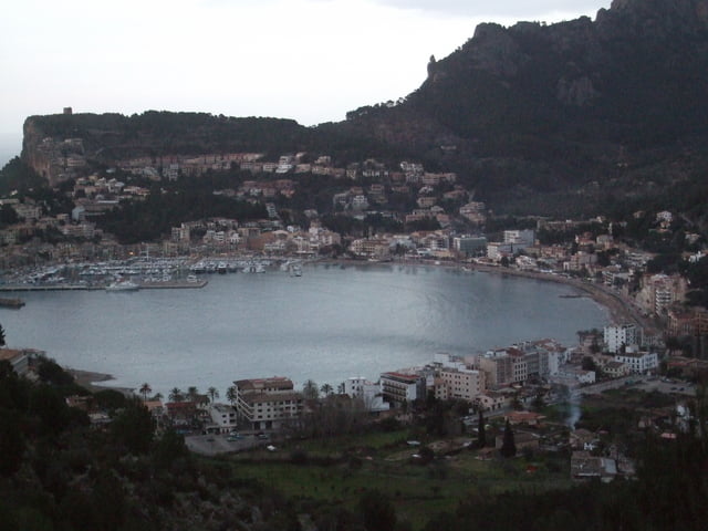

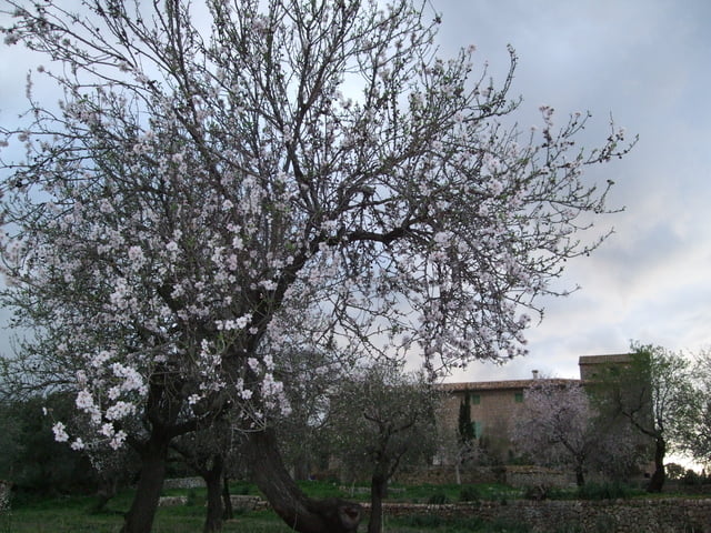
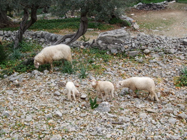
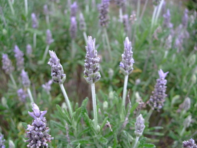
Diese Wanderung führt überwiegend flach, mit leichten Anstiegen, durch das Sollertal. Zum Schluss leider auf Asphalt. Entlang der Wegstrecke sind zahlreiche Tiere, wie Esel, Pferde und Schafe zu finden. Auch die Flora mit unzähligen Orangen- Zitronen- und Olivenbäumen ist sehenswert. Überall duftet es nach Lavendel.
Further information at
http://www.sollerturisme.com/sollerweb/index.jspTour gallery
Tour map and elevation profile
Minimum height -13 m
Maximum height 226 m
More about the tour author
|
|
osnapicture |
Comments

Von Palma aus entweder mit dem Überlandbus oder mit der historischen Schmalspurbahn
GPS tracks
Trackpoints-
GPX / Garmin Map Source (gpx) download
-
TCX / Garmin Training Center® (tcx) download
-
CRS / Garmin Training Center® (crs) download
-
Google Earth (kml) download
-
G7ToWin (g7t) download
-
TTQV (trk) download
-
Overlay (ovl) download
-
Fugawi (txt) download
-
Kompass (DAV) Track (tk) download
-
Track data sheet (pdf) download
-
Original file of the author (gpx) download
More about the tour author
|
|
osnapicture |
Add to my favorites
Remove from my favorites
Edit tags
Open track
My score
Rate