
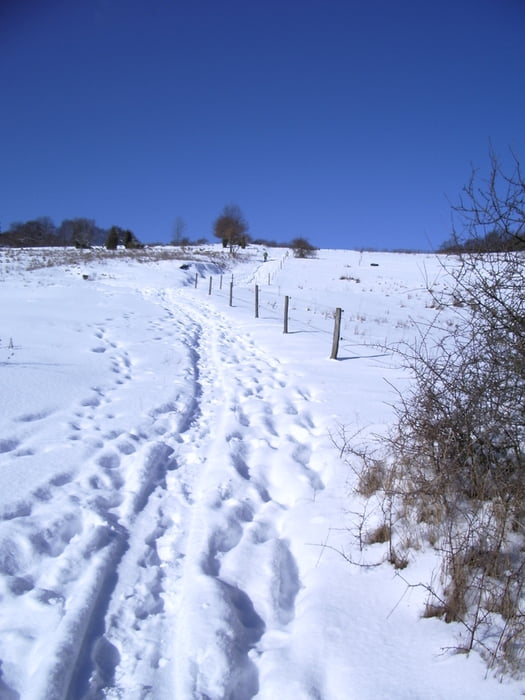

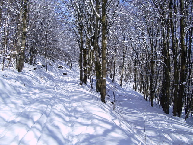
Ein weiterer wunderschöner Weg aus dem Programm der Extratouren im Lahn-Dill-Bergland. Mit Ausnahme eines steilen Anstieges vom Startpunkt, Friedhof Nanzenbach, ist der Weg sehr gut zu gehen und bietet tolle Aussichten.
Wir sind den Weg im Winter gelaufen, sh. Fotos, d.h. im Sommer wird man sicher keine 3 Stunden benötigen
Further information at
http://www.lahn-dill-bergland.deTour gallery


Tour map and elevation profile
Minimum height 278 m
Maximum height 575 m
More about the tour author

|
Arno Brueck |
Comments

Der Ort Nanzenbach liegt etwa 6 km nordöstlich von Dillenburg
GPS tracks
Trackpoints-
GPX / Garmin Map Source (gpx) download
-
TCX / Garmin Training Center® (tcx) download
-
CRS / Garmin Training Center® (crs) download
-
Google Earth (kml) download
-
G7ToWin (g7t) download
-
TTQV (trk) download
-
Overlay (ovl) download
-
Fugawi (txt) download
-
Kompass (DAV) Track (tk) download
-
Track data sheet (pdf) download
-
Original file of the author (gpx) download
More about the tour author
|
|
Arno Brueck |
Add to my favorites
Remove from my favorites
Edit tags
Open track
My score
Rate