


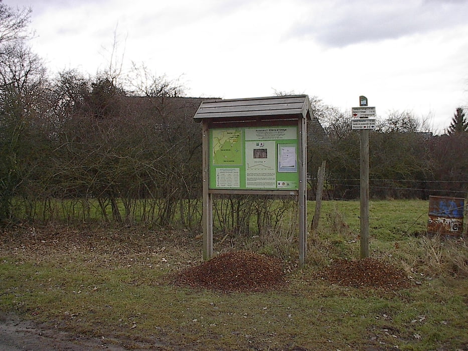
Vertrekpunt aan het voetbalveld van Grandhan (links van de baan van Durbuy naar Hotton). Vlakke wandeling over brede boswegen. Er zijn in het bos nog andere wandelingen te maken (zie infobord aan vertrekpunt).
Tour gallery
Tour map and elevation profile
Minimum height 176 m
Maximum height 211 m
More about the tour author

|
jefhoremans |
Comments

Het vertrekpunt ligt links van de baan die van Durbuy naar Hotton loopt. Ongeveer 2,5 km van Durbuy moet je rechts afslaan naar Hotton en Marche. Nog een 300 m verder draai je linksaf. Blijf die weg dan ongeveer 700 m volgen, en volg de pijlen naar het voetbalveld en de school. Daar is er een ruime parking.
GPS tracks
Trackpoints-
GPX / Garmin Map Source (gpx) download
-
TCX / Garmin Training Center® (tcx) download
-
CRS / Garmin Training Center® (crs) download
-
Google Earth (kml) download
-
G7ToWin (g7t) download
-
TTQV (trk) download
-
Overlay (ovl) download
-
Fugawi (txt) download
-
Kompass (DAV) Track (tk) download
-
Track data sheet (pdf) download
-
Original file of the author (gpx) download
More about the tour author
|
|
jefhoremans |
Add to my favorites
Remove from my favorites
Edit tags
Open track
My score
Rate