


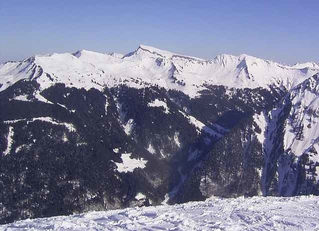
Tour vom Ortsende Schoppernau zum Neuhornbachhaus
Einfache Tour. Der Aufstieg geht über den gewalzten Fahrweg zum Neuhornbachhaus (im Winter zumeist offen).
Der Neuhornbachhauswirt fährt Gäste mit der Pistenraupe rauf und runter, so daß der Weg für Schneeschuhwanderer und Schlittenfahrer einen hohen Reiz aufweist.
Wer noch Energie hat sollte auf den Falzer Kopf laufen (siehe Skitour Falzer Kopf), alternativ kann man auch zur Mittel- oder Bergstation des Diedamskopfes laufen (am Neuhornbachhaus vorbei) und mit dem Lift abfahren (oder anderstherum).
Die Zeitangabe ist nur der Aufstieg.
Tour gallery
Tour map and elevation profile
Minimum height 863 m
Maximum height 1651 m
More about the tour author
|
|
skyhopper |
Comments

In Schoppernau von der Talstation der Diedamskopfbahn mit dem Bus an das Ortende Richtung Warth fahren bis zur Wendestelle am Hotel Edelweis
GPS tracks
Trackpoints-
GPX / Garmin Map Source (gpx) download
-
TCX / Garmin Training Center® (tcx) download
-
CRS / Garmin Training Center® (crs) download
-
Google Earth (kml) download
-
G7ToWin (g7t) download
-
TTQV (trk) download
-
Overlay (ovl) download
-
Fugawi (txt) download
-
Kompass (DAV) Track (tk) download
-
Track data sheet (pdf) download
-
Original file of the author (gpx) download
More about the tour author
|
|
skyhopper |
Add to my favorites
Remove from my favorites
Edit tags
Open track
My score
Rate