Login

Forgotten password?

Cookies have to be accepted!
Your browser's cookie functionality is disabled. Please enable this functionality.

Not a member yet?

Register now
Login

Available for registred users only

Log in to use this feature.

Forgotten password?

Cookies have to be accepted!
Your browser's cookie functionality is disabled. Please enable this functionality.

Not a member yet?

Register now
Filter
Categories
Advanced filters
  • Distance (km)
  • Height
Save filters Reset filter

TrackRank

QRCode

Technical data

Distance13,5 km Height39 m Way down38 m Duration02:00 h:m Date22.03.2009
Scores Author Landscape Fun factor Fitness Technique

Statistics

948 Views Scores 17 Downloads Average
Rate
  • Track data sheet
  • Directions
  • Downloads

Rondje Schaphalsterzijl, Mensingeweer vanaf de kanovereniging Winsum.

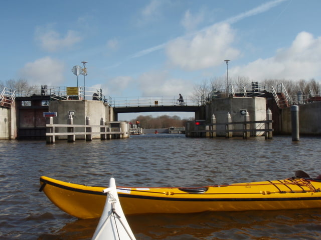
Tijdens deze korte tocht hebben we te maken met 2 obstakels in de vorm van een gemaal/sluis.

Voor de kano is er een speciale sluis gemaakt, die helaas niet altijd functioneert.
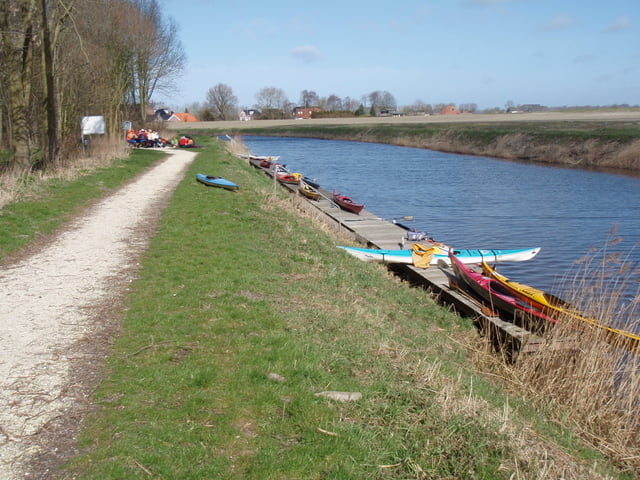
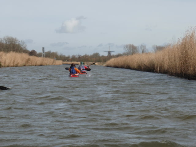


Tour gallery

Tour map and elevation profile

  • Open Street Map
  • Google
Minimum height -12 m Maximum height Detailed view

More about the tour author

japie7
Member since 2009

Send private message

Comments

GPS tracks

Trackpoints
  • GPX / Garmin Map Source (gpx) download
  • TCX / Garmin Training Center® (tcx) download
  • CRS / Garmin Training Center® (crs) download
  • Google Earth (kml) download
  • G7ToWin (g7t) download
  • TTQV (trk) download
  • Overlay (ovl) download
  • Fugawi (txt) download
  • Kompass (DAV) Track (tk) download
  • Track data sheet (pdf) download
  • Original file of the author (gpx) download

More about the tour author

japie7
Member since 2009

Send private message
Share track
Add to my favorites
Remove from my favorites
Edit tags
My score
Rate
Track: Winsum - Mensingeweer
Type: Boat and canoe
Distance: 13,5 km
Evaluated on:
Duration:
Day(s)
Hour(s)
Minute(s)
Score: Landscape Fun factor Fitness Technique