


Strecke: Geteerte Wirtschaftswege und Ortsdurchfahrten ca. 7,5 km
Forstwege
und ein kleiner Singletrail
Lohnenswerter Abstecher: Ruine Löwenstein ( Oberurff-Schiffelborn) mit
Jausenstation (wochenends geöffnet)
Strecke: Die Strecke ist am schönsten entgegen dem Uhrzeigersinn zu fahren
Start: überall möglich (Ich habe in Oberurff-Schiffelborn begonnen)
Bitte Bewerten !
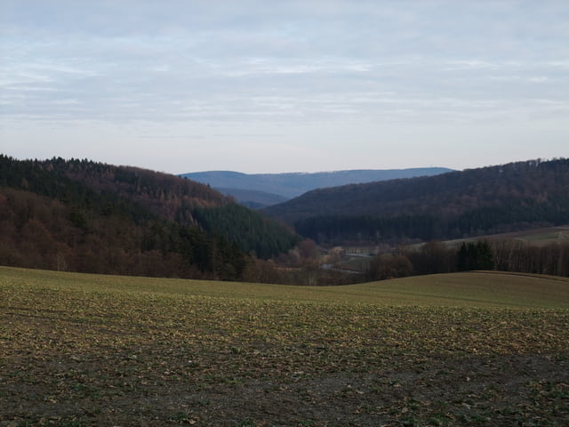
Tour gallery


Tour map and elevation profile
Minimum height 220 m
Maximum height 496 m
More about the tour author
|
|
siebenschlaefer |
Comments

GPS tracks
Trackpoints-
GPX / Garmin Map Source (gpx) download
-
TCX / Garmin Training Center® (tcx) download
-
CRS / Garmin Training Center® (crs) download
-
Google Earth (kml) download
-
G7ToWin (g7t) download
-
TTQV (trk) download
-
Overlay (ovl) download
-
Fugawi (txt) download
-
Kompass (DAV) Track (tk) download
-
Track data sheet (pdf) download
-
Original file of the author (gpx) download
More about the tour author
|
|
siebenschlaefer |
Add to my favorites
Remove from my favorites
Edit tags
Open track
My score
Rate