


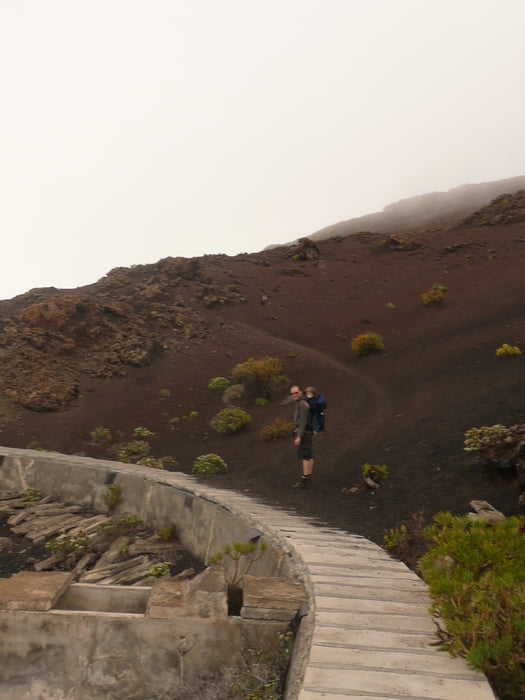
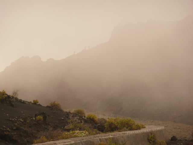
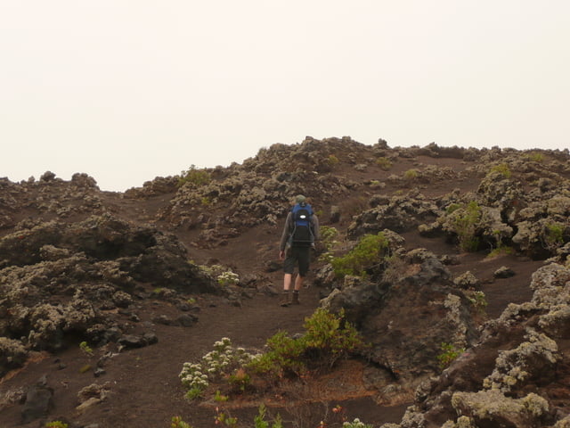
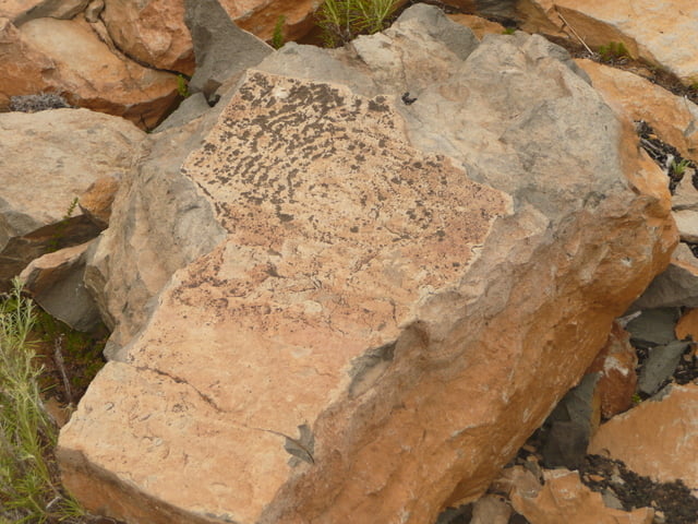
Im angesicht des vulkan teneguia (letzte ausbruch 1971) geht’s auf diese kleine runde! Wir starten etwas oberhalb, direkt am ausläufer des vulkan san antonio. Am abzweiger zum vulkan teneguia lassen wir diesen links liegen und folgen dem weg rechts bis wir die wasserleitung überqueren und dann zum roque teneguia kommen. Hier kann man die alten petroglyphen der ur-kanarier bewundern. Über einen kleinen serpentinenweg kommen wir zurück zum hauptweg und zum ausgangspunkt der tour zurück!
Further information at
http://www.hegibiketours.de/Tour gallery
Tour map and elevation profile
Minimum height 378 m
Maximum height 469 m
More about the tour author
|
|
hegi |
Comments
An dem schotterweg unterhalb vom vulkan san antonio kann man sein auto parken!
GPS tracks
Trackpoints-
GPX / Garmin Map Source (gpx) download
-
TCX / Garmin Training Center® (tcx) download
-
CRS / Garmin Training Center® (crs) download
-
Google Earth (kml) download
-
G7ToWin (g7t) download
-
TTQV (trk) download
-
Overlay (ovl) download
-
Fugawi (txt) download
-
Kompass (DAV) Track (tk) download
-
Track data sheet (pdf) download
-
Original file of the author (gpx) download
More about the tour author
|
|
hegi |
Add to my favorites
Remove from my favorites
Edit tags
Open track
My score
Rate
Danke
Liebe Grüße aus dem Waldviertel (Österreich)
Jonny
http://wandertipp.at/zwalk/