


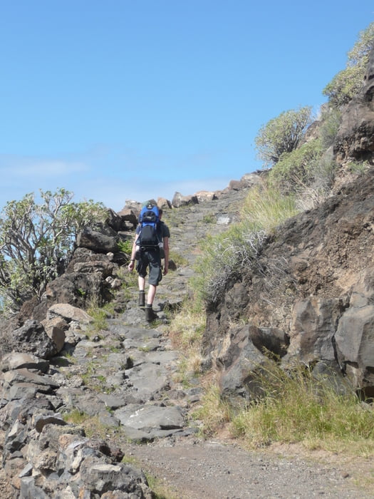
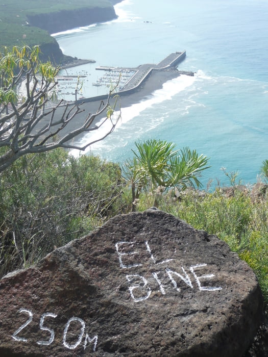
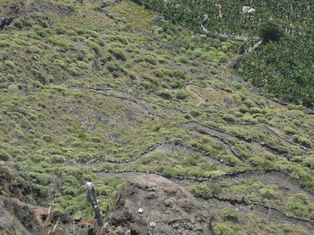
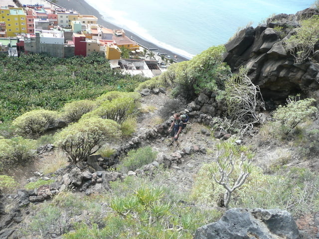
Wanderung im steilhang el time. Los geht’s in puerto tazacorte. Zwischen den kiosken ist dann der einstieg in den alten camino real und dem folgen wir bis zum aussichtspunkt el bine. Auf 1 km haben wir jetzt 250 Hm gemacht!!! Unter einem schattigen baum kann man ein schönes päuschen machen und dann geht’s wieder runter! Und immer dabei die herrlichen blicke aufs meer, puerto tazacorte und viels mehr :)
Further information at
http://www.hegibiketours.de/Tour gallery
Tour map and elevation profile
Minimum height
Maximum height 256 m
More about the tour author
|
|
hegi |
Comments

in puerto tazacorte gibt es genügend parkmöglichkeiten fürs auto.
GPS tracks
Trackpoints-
GPX / Garmin Map Source (gpx) download
-
TCX / Garmin Training Center® (tcx) download
-
CRS / Garmin Training Center® (crs) download
-
Google Earth (kml) download
-
G7ToWin (g7t) download
-
TTQV (trk) download
-
Overlay (ovl) download
-
Fugawi (txt) download
-
Kompass (DAV) Track (tk) download
-
Track data sheet (pdf) download
-
Original file of the author (gpx) download
More about the tour author
|
|
hegi |
Add to my favorites
Remove from my favorites
Edit tags
Open track
My score
Rate