

Štart poti je dom pri slapu savica, kjer je tudi parkirni prostor. Gledamo table dom Komna do koder je dobri dve uri hoje. Če pot ni preveč ledena lahko hodimo s smučmi. Pri domu na Komni se nam odpre ogromno možnosti za turne smuke. Zato je priporočljivo se tja odpraviti za dva dni.
Prvi dan naredimo turo po Komni in njeni okolici.
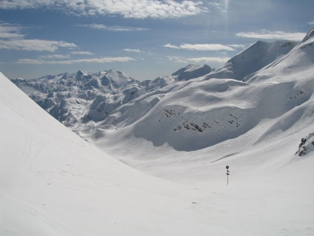
Drugi dan pa prečimo do vogla pot je oznacena s visokimi tablami sledimo zeleni puščici nato po Žagarjevem grabnu odsmučamo v dolino. Kjer naš čaka še hoja po cesti 5 km do avta oz. če imao srečo lahko dobimo avtoštop.
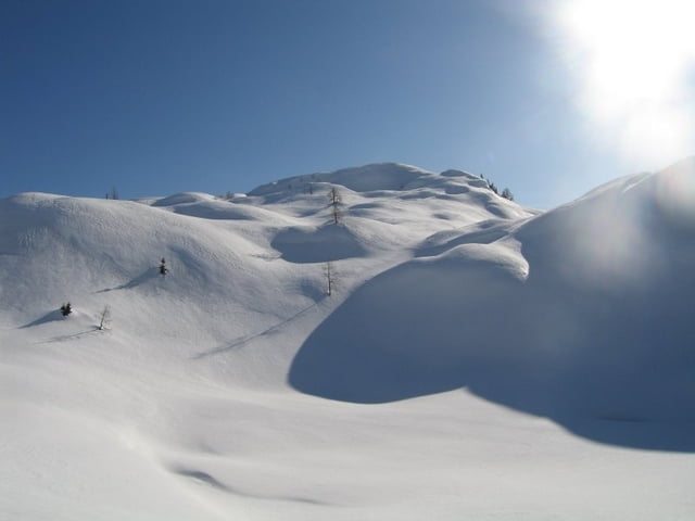
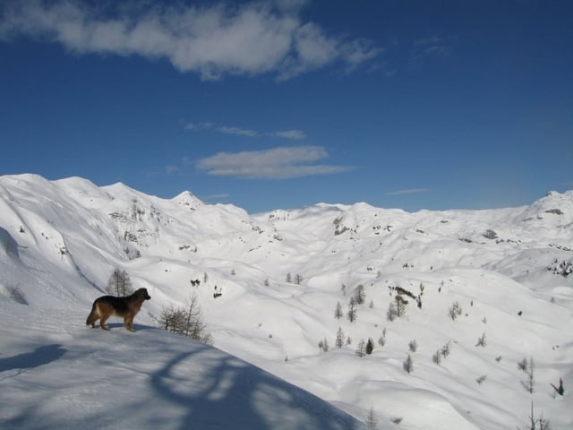
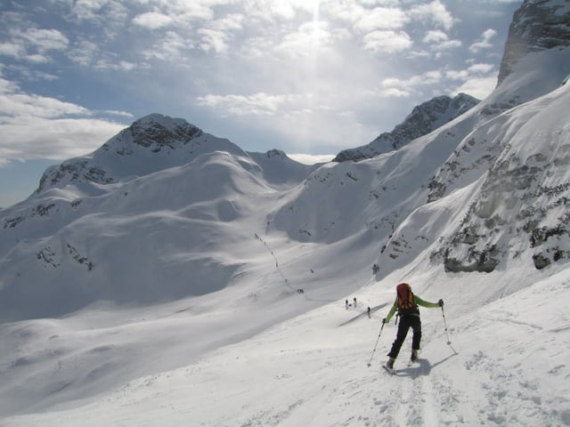
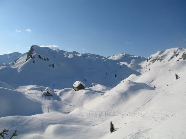
Tour gallery
Tour map and elevation profile
Minimum height 522 m
Maximum height 1783 m
More about the tour author

|
Matej78 |
Comments

Izhodišče poti je slap Savica pri Bohinjskem jezeru. Peljemo se mimo Bleda do Bohinja in do konca doline pri Bohinjskem jezeru gledamo table slap Savica.
GPS tracks
Trackpoints-
GPX / Garmin Map Source (gpx) download
-
TCX / Garmin Training Center® (tcx) download
-
CRS / Garmin Training Center® (crs) download
-
Google Earth (kml) download
-
G7ToWin (g7t) download
-
TTQV (trk) download
-
Overlay (ovl) download
-
Fugawi (txt) download
-
Kompass (DAV) Track (tk) download
-
Track data sheet (pdf) download
-
Original file of the author (gpx) download
More about the tour author
|
|
Matej78 |
Add to my favorites
Remove from my favorites
Edit tags
Open track
My score
Rate