


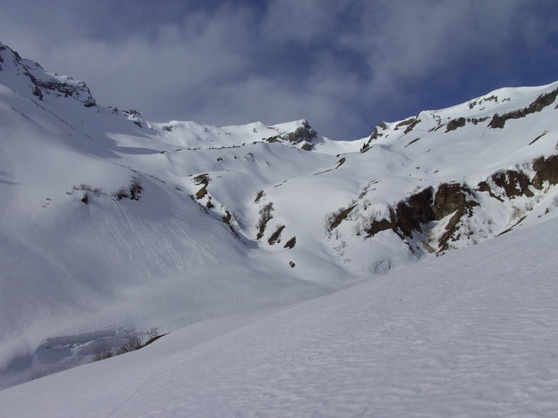
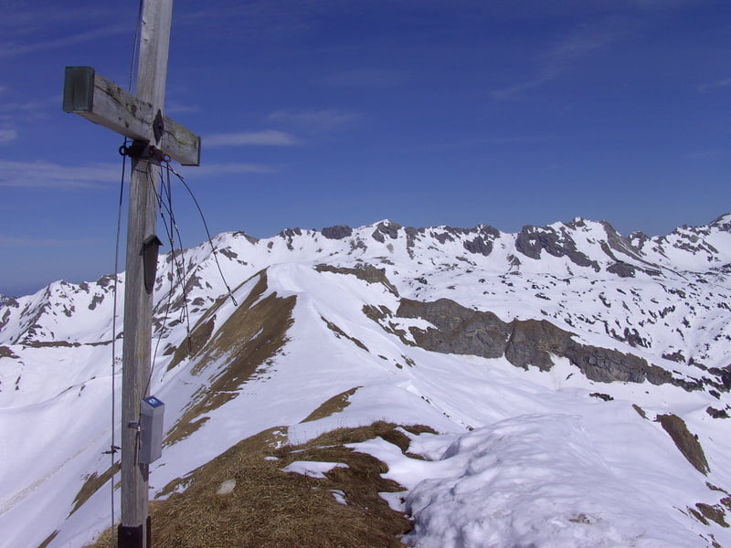
Schöne Frühjahrstour auf einen aussichtsreichen Allgäuer Skiberg.
Mit der MTB vom letzten Parkplatz in Hinterstein zum Giebelhaus (der Linienbus fährt um diese Jahreszeit erst ab 11.00 Uhr) und weiter zum Engeratsgunthof bis der Schnee anfängt. Dann immer in südwestlicher Richtung zum schon von weitem sichtbaren Schochen. Zum Schluß ein steiler Gipfelhang.
Tour gallery

Tour map and elevation profile
Minimum height 887 m
Maximum height 2103 m
More about the tour author
|
|
yr1willi |
Comments

Über Kempten (Allgäu) noch Sonthofen - HIndelang - Hinterstein bis zum letzten Parkplatz (gebührenpflichtig, seit kurzem nur € 2.50 für den ganzen Tag)
GPS tracks
Trackpoints-
GPX / Garmin Map Source (gpx) download
-
TCX / Garmin Training Center® (tcx) download
-
CRS / Garmin Training Center® (crs) download
-
Google Earth (kml) download
-
G7ToWin (g7t) download
-
TTQV (trk) download
-
Overlay (ovl) download
-
Fugawi (txt) download
-
Kompass (DAV) Track (tk) download
-
Track data sheet (pdf) download
-
Original file of the author (gpx) download
More about the tour author
|
|
yr1willi |
Add to my favorites
Remove from my favorites
Edit tags
Open track
My score
Rate