Login

Forgot your login?

Cookies have to be accepted!
Your browser's cookie functionality is disabled. Please enable this functionality.

Not a member yet?

Register now
Login

Available for registred users only

Log in to use this feature.

Forgot your login?

Cookies have to be accepted!
Your browser's cookie functionality is disabled. Please enable this functionality.

Not a member yet?

Register now
Filter
Categories
Advanced filters
  • Distance (km)
  • Height
Save filters Reset filter

TrackRank

QRCode

Technical data

Distance176,3 km Height3108 m Way down3110 m Duration00:00 h:m Date10.05.2009
Scores Author Landscape Fun factor Fitness Technique

Statistics

430 Views Scores 91 Downloads Average
Rate
  • Track data sheet
  • Directions
  • Downloads

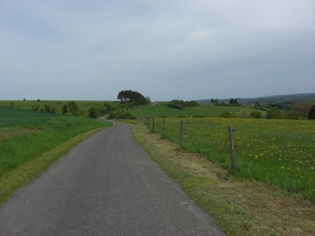
La Magnifique 2009 vertrek vanuit Rochefort (Jemelle) een pittige tocht van 177 km met 3196 hoogtemeters.

Met 25 benoemde beklimmingen, maar het gaat heel de tijd op en af!

Tour gallery

Tour map and elevation profile

  • Open Street Map
  • Google
Minimum height 149 m Maximum height 529 m Detailed view

More about the tour author

gogeko
Member since 2009

Send private message

Comments

Start in Rochefort, hierna richting Nassogne en Saint Hubert, in de eerste 80 km heb je er al 1000 hoogtemeters opzitten.

Hierna Anloy, Gembes richting Redu, daarna Lesse, Tellin, Han Sur Lesse  om weer terug te keren naar Rochefort.

GPS tracks

Trackpoints
  • GPX / Garmin Map Source (gpx) download
  • TCX / Garmin Training Center® (tcx) download
  • CRS / Garmin Training Center® (crs) download
  • Google Earth (kml) download
  • G7ToWin (g7t) download
  • TTQV (trk) download
  • Overlay (ovl) download
  • Fugawi (txt) download
  • Kompass (DAV) Track (tk) download
  • Track data sheet (pdf) download
  • Original file of the author (gpx) download

More about the tour author

gogeko
Member since 2009

Send private message
Share track
Add to my favorites
Remove from my favorites
Edit tags
My score
Rate
Track: La Magnifique 2009
Type: Road biking
Distance: 176,3 km
Evaluated on:
Duration:
Day(s)
Hour(s)
Minute(s)
Score: Landscape Fun factor Fitness Technique