Login

Forgot your login?

Cookies have to be accepted!
Your browser's cookie functionality is disabled. Please enable this functionality.

Not a member yet?

Register now
Login

Available for registred users only

Log in to use this feature.

Forgot your login?

Cookies have to be accepted!
Your browser's cookie functionality is disabled. Please enable this functionality.

Not a member yet?

Register now
Filter
Categories
Advanced filters
  • Distance (km)
  • Height
Save filters Reset filter

TrackRank

QRCode

Technical data

Distance8,6 km Height153 m Way down151 m Duration02:30 h:m Date12.05.2009
Scores Author Landscape Fun factor Fitness Technique

Statistics

302 Views Scores 28 Downloads Average
Rate
  • Track data sheet
  • Directions
  • Downloads

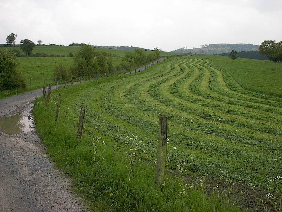
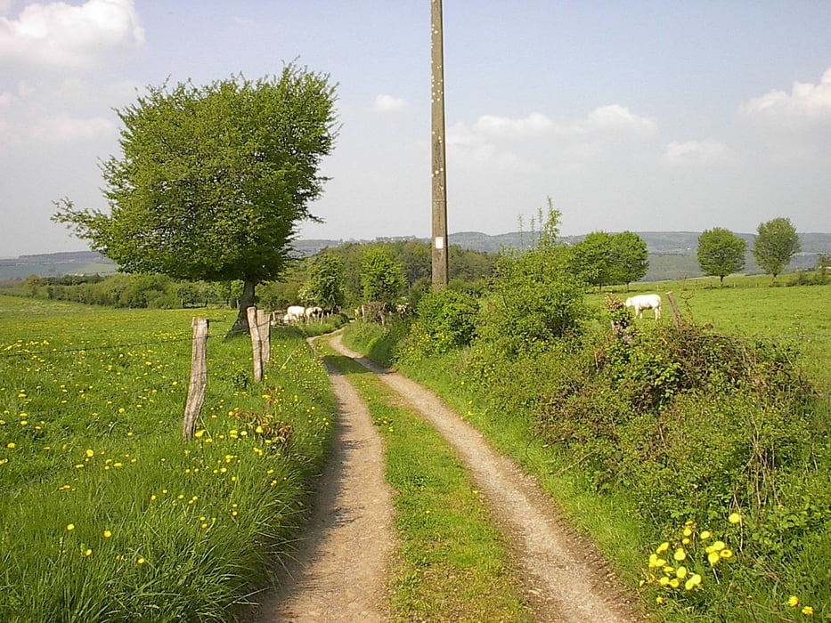
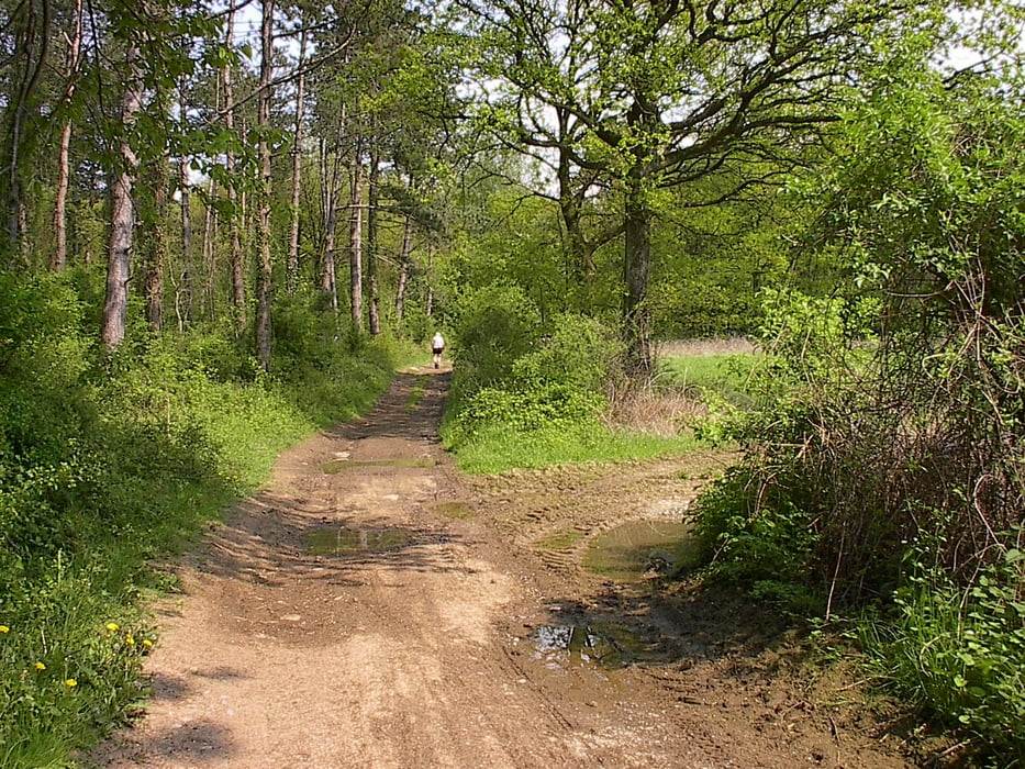
Rondwandeling rond Izier, meestal in het open veld.

Vertrekken kan in "Longs Trixhes": op de weg van Bomal naar Izier, ongeveer 3,5 km voorbij Bomal linksaf slaan en daar ergens parkeren aan de rand van de weg. 

Tour gallery

Tour map and elevation profile

  • Open Street Map
  • Google
Minimum height 201 m Maximum height 295 m Detailed view

More about the tour author

jefhoremans
Member since 2008

Send private message

Comments

Vertrekken kan in "Longs Trixhes": op de weg van Bomal naar Izier, ongeveer 3,5 km voorbij Bomal linksaf slaan en daar ergens parkeren aan de rand van de weg. 

GPS tracks

Trackpoints
  • GPX / Garmin Map Source (gpx) download
  • TCX / Garmin Training Center® (tcx) download
  • CRS / Garmin Training Center® (crs) download
  • Google Earth (kml) download
  • G7ToWin (g7t) download
  • TTQV (trk) download
  • Overlay (ovl) download
  • Fugawi (txt) download
  • Kompass (DAV) Track (tk) download
  • Track data sheet (pdf) download
  • Original file of the author (gpx) download

More about the tour author

jefhoremans
Member since 2008

Send private message
Share track
Add to my favorites
Remove from my favorites
Edit tags
My score
Rate
Track: Rondom Izier
Type: Hiking
Distance: 8,6 km
Evaluated on:
Duration:
Day(s)
Hour(s)
Minute(s)
Score: Landscape Fun factor Fitness Technique